 Apenisa Waqairadovu
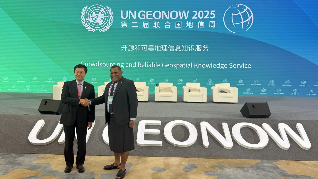
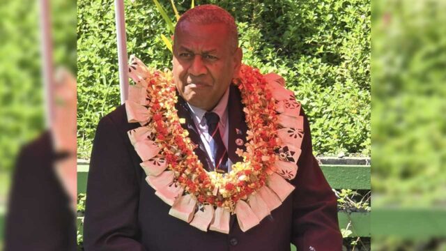
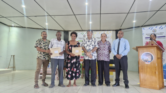
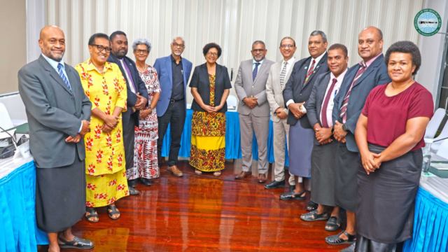
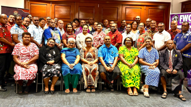
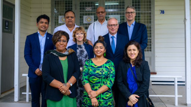
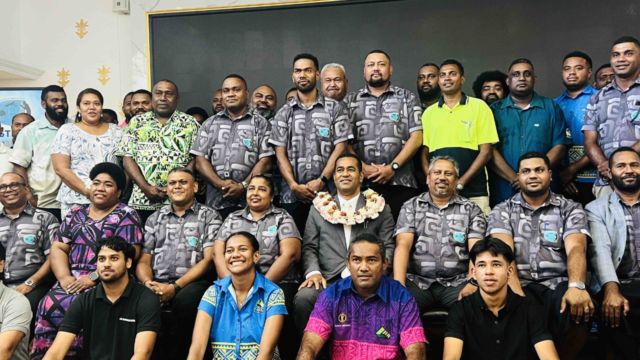
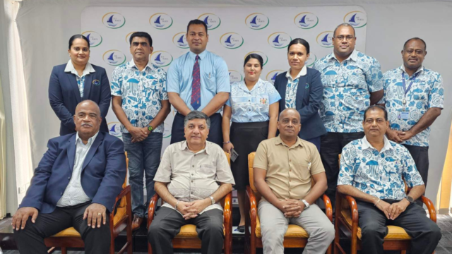
Source: Ministry of Lands and Mineral Resources / Facebook
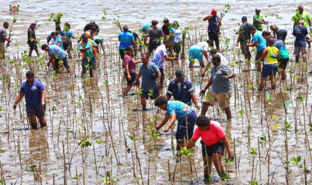
Fiji is stepping up the use of geospatial technologies to strengthen planning, connect urban and rural areas, and support sustainable, climate-resilient development across the islands.
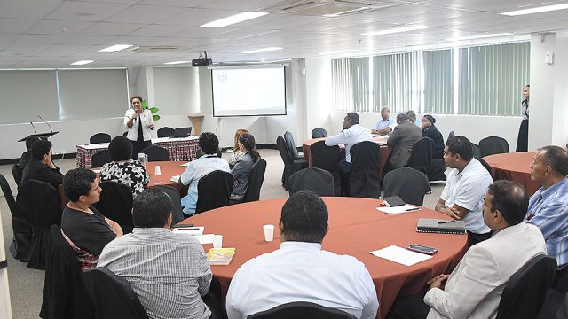
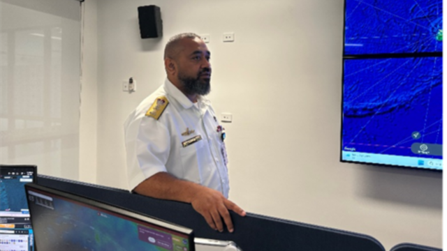
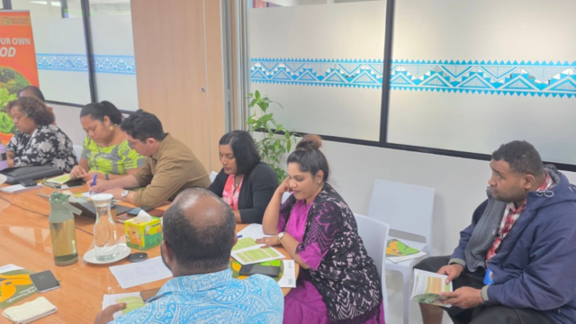
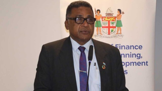
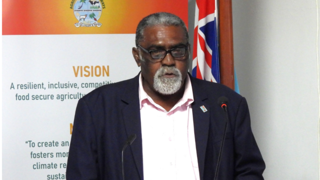
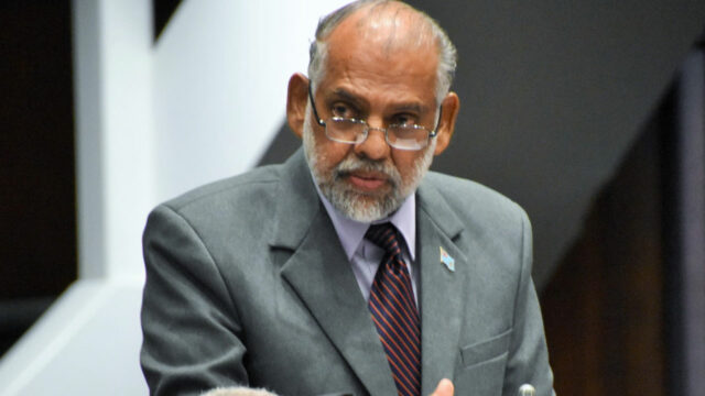
Permanent Secretary for Lands and Mineral Resources, Paula Cirikiyasawa confirmed this while speaking at the UN GeoNow Moganshan Talk Session.
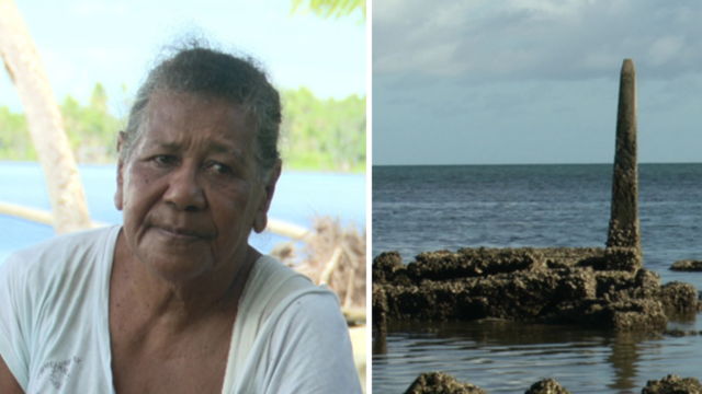
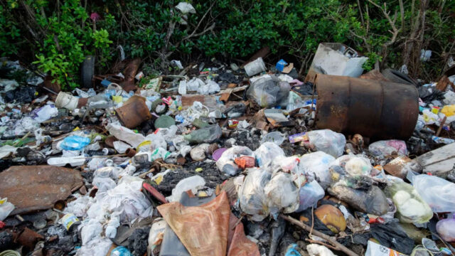
He highlighted the challenges facing small island nations, including dispersed populations, limited land, and exposure to natural hazards.
Geospatial data is being used to improve land administration, mineral mapping, and environmental monitoring, ensuring better decision-making and resource management.
Fiji is also collaborating with regional partners to standardize data governance, build technical capacity, and train young professionals to sustain national geospatial systems.
These efforts aim to ensure that geospatial innovation benefits all communities, supporting inclusive, efficient, and resilient development across the country.
Stream the best of Fiji on VITI+. Anytime. Anywhere.