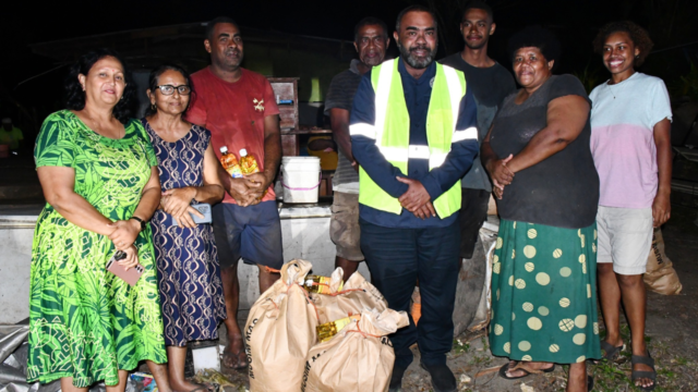
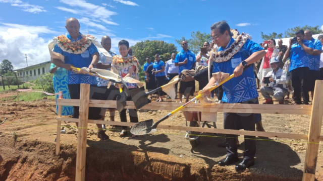
 Apenisa Waqairadovu
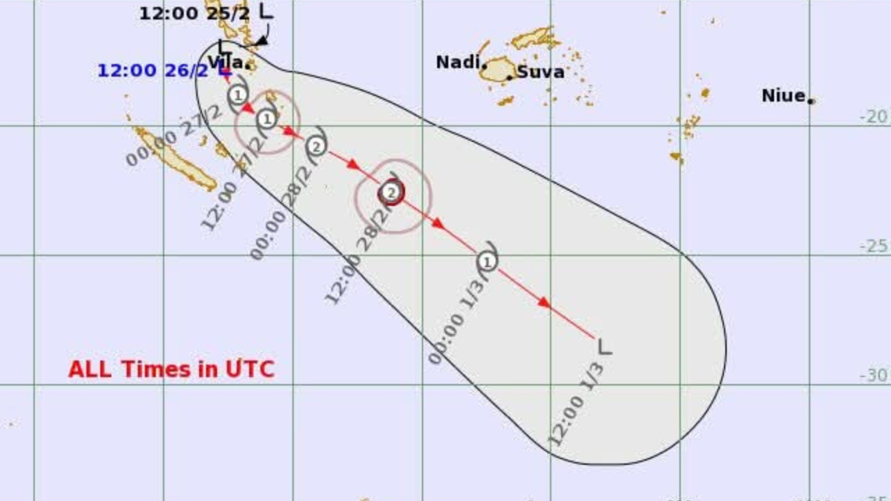
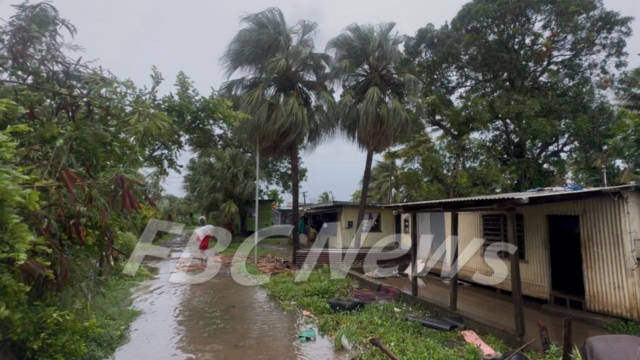
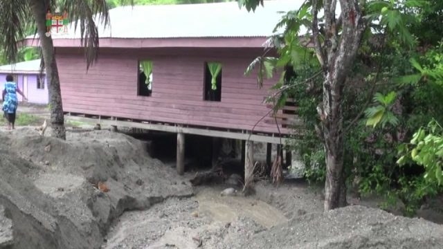
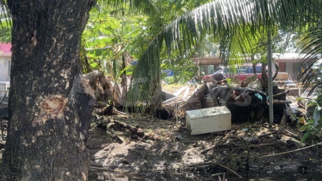
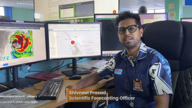
[Photo: SUPPLIED]
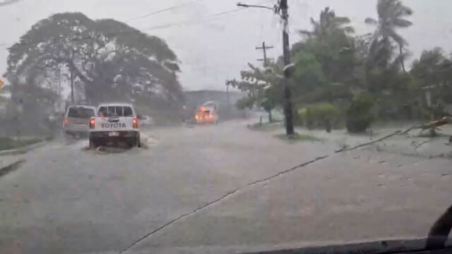
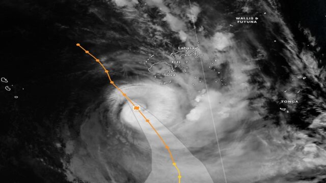
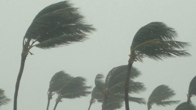
Tropical Depression 09F is expected to intensify further and reach tropical cyclone strength within the next 6 to 12 hours.
The Fiji Meteorological Service says the system, which strengthened overnight from a tropical disturbance, was located at 6am about 90 kilometres southwest of Port Vila, Vanuatu, and approximately 1,020 kilometres west of Nadi.
TD09F is currently moving south-southeast at around 15 kilometres per hour and continues to draw energy from warm Pacific waters.
The Weather Office says once it intensifies into a tropical cyclone, it will be named Tropical Cyclone URMIL, becoming the first named system of the 2025–2026 Tropical Cyclone Season.
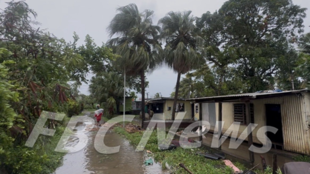
While the centre of the system is expected to remain well west of Fiji, associated rainbands and strong to gusty north-northwesterly winds are forecast to affect parts of the country from tomorrow.
A strong wind warning is now in force for the waters of Yasawa and Mamanuca, and southwest Viti Levu.
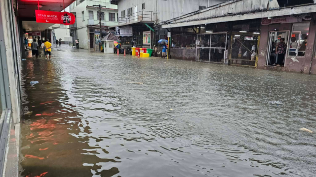
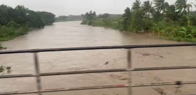
A heavy rainfall alert has been issued for the Western Division and Kadavu.
A strong wind warning is also in place for land areas of the Western Division and Kadavu, with winds expected to strengthen from tomorrow.
The Fiji Meteorological Service is closely monitoring the system and is advising the public to stay updated with the latest forecasts and warnings.