 Apenisa Waqairadovu
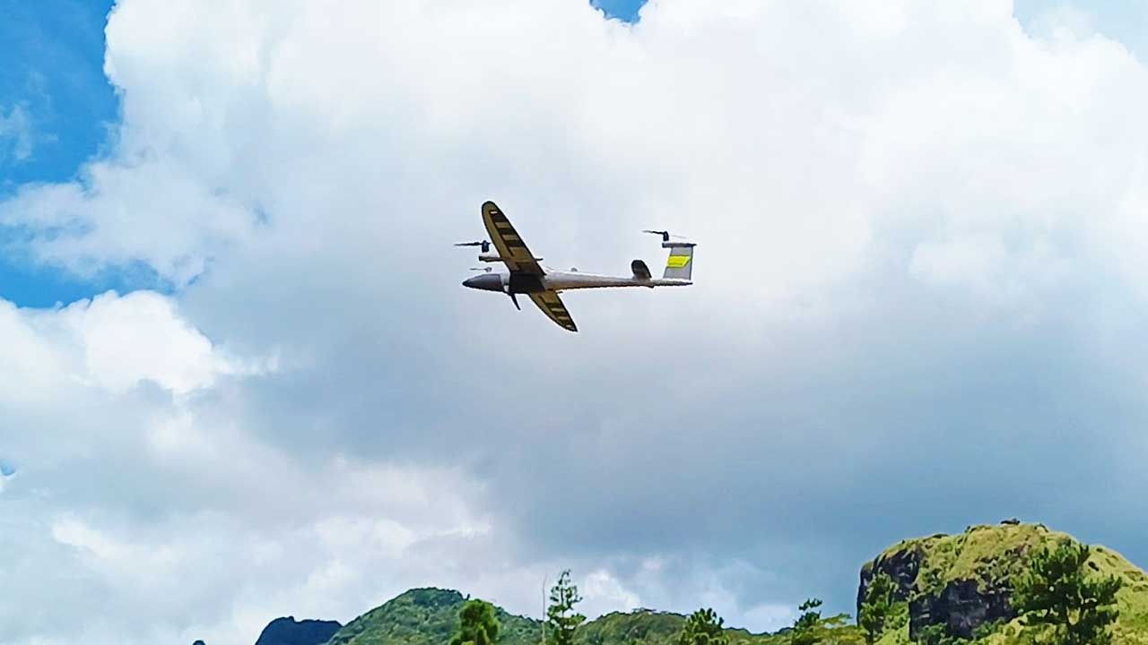
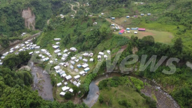
[Photo Credit: TLTB]
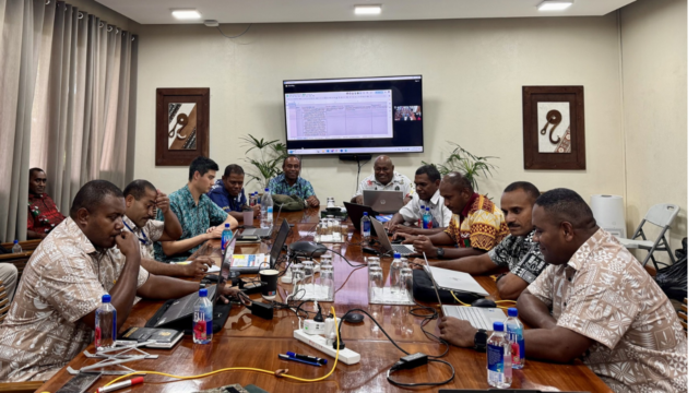
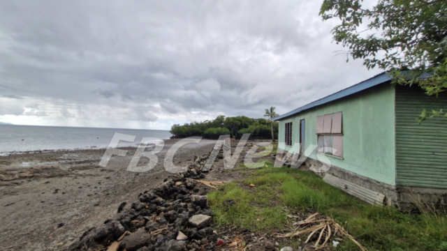
The iTaukei Land Trust Board has made history becoming the first institution in Fiji and the South Pacific to acquire and operate the Quantum Systems Trinity Pro.
It is one of the world’s most advanced surveying drones.
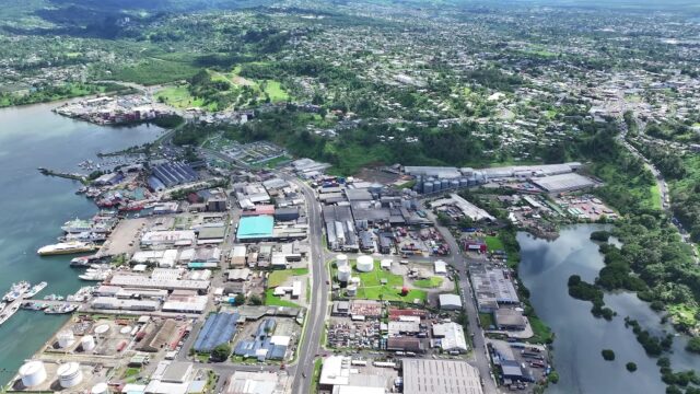
The drone was recently used in a high-resolution survey of the Seaqaqa rainforest, led by TLTB’s certified drone pilot, Isireli Buwawa.
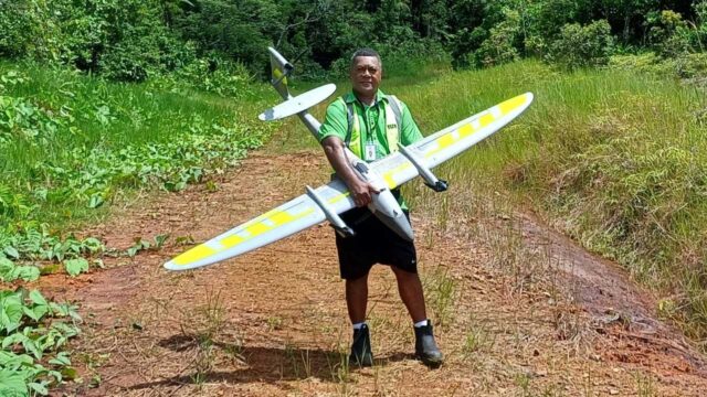
[Photo Credit: TLTB]
Equipped with cutting-edge LiDAR and 3D mapping technology, it captured detailed images of terrain and forest features in just one hour work that would normally take weeks.
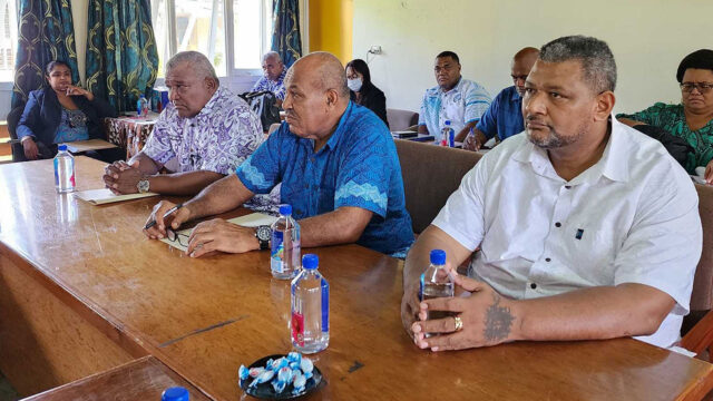
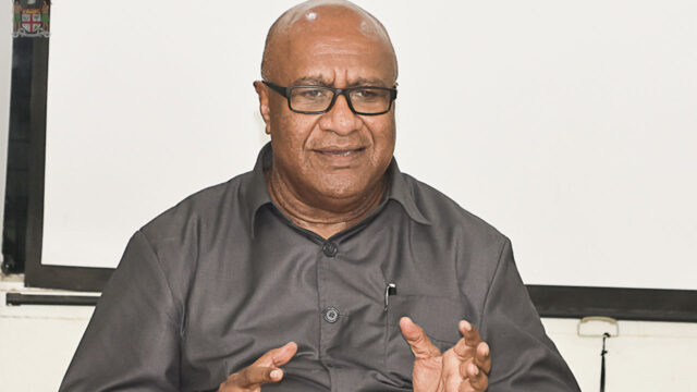
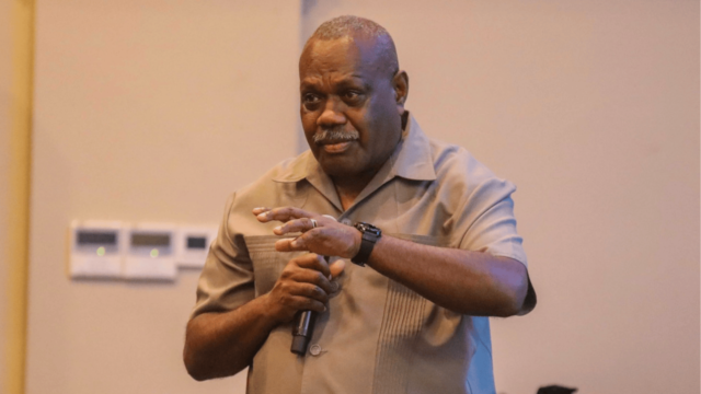
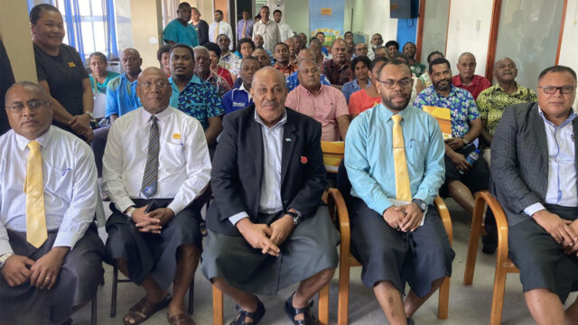
TLTB Chief Executive Solomone Nata says the investment marks a major step forward in land management and digital transformation, helping landowners make smarter, more sustainable decisions.

Stream the best of Fiji on VITI+. Anytime. Anywhere.