A landowner has questioned the scope of the proposed Sigatoka Sand Dunes iron mining project, saying the latest presentation does not reflect the wider area covered under its exploration licence.
Speaking during the project consultation, Lorima, from Nayawa Village , says exploration licence SPL-L1-495 initially covered a much larger area, including customary fishing grounds and native land.
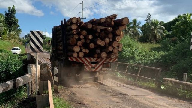
He questioned why the presentation had shifted its focus to only two freehold properties, when the original map also included areas near the bridge and along the river.
Lorima says although the mining activities may be concentrated on the two freehold properties, any development could also affect surrounding native land and customary fishing grounds.
In response, a Ministry of Lands representative says the Mineral Resources Department will determine the boundaries of any future mining lease based on the resources identified during exploration.
The representative says the mining lease area could either be reduced or retained, depending on the exploration findings.
However, Lorima says the explanation does not adequately address the concerns of customary landowners and fishing ground owners, particularly those whose areas are included in the original exploration map.