 Litia Cava
[Photo: File]
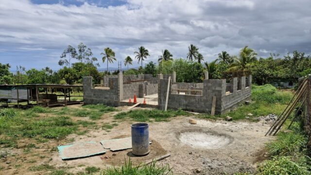
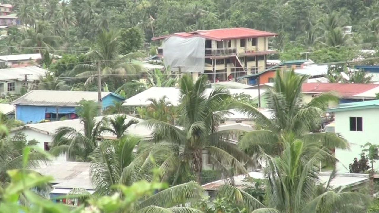
More Fijian communities could face relocation within the next five to ten years as geological instability threatens the safety of land they have occupied for generations.
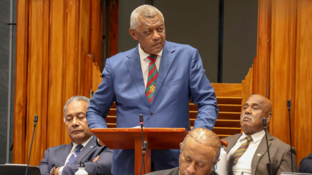
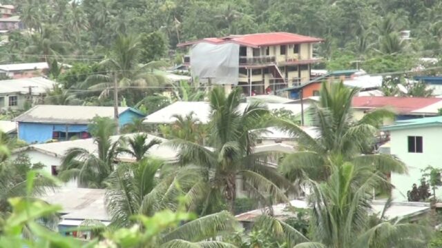
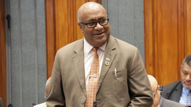
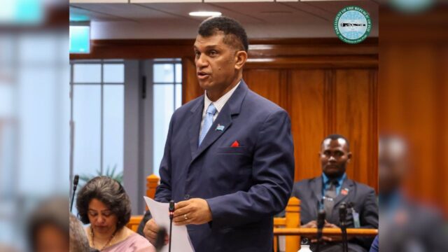
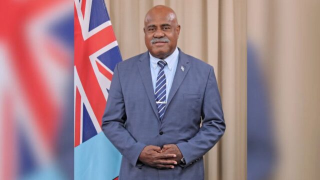
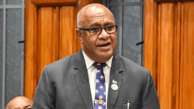
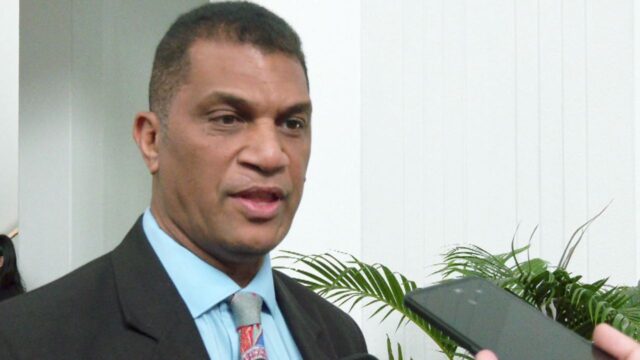
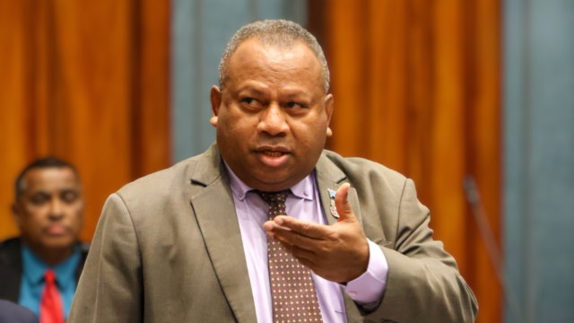
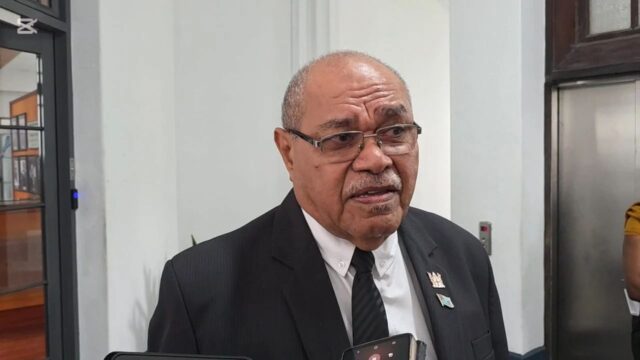
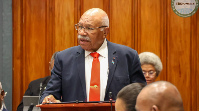
The warning was delivered in Parliament by Lands and Mineral Resources Minister Filimoni Vosarogo, who identified Waikalou in Naitasiri as another community facing possible relocation because of ongoing land loss.
Vosarogo revealed that Waikalou has lost more than 40 acres of land over the past 30 years, with geotechnical assessments indicating that relocation may soon become necessary.
The warning follows assessments at Nabavatu and Cogea, where scientific investigations found that subsurface ground movement had made the communities existing locations unsafe for continued habitation.
Vosarogo said the geological assessments were helping Government identify safer locations before conditions deteriorate further, allowing affected communities time to prepare for relocation.
He said the scientific work was also strengthening the ability of government agencies to determine where communities could safely resettle.
The Minister said Fiji’s growing technical cooperation with the United States Geological Survey was helping build the expertise needed to assess geological risks and identify suitable relocation sites.
Fiji,Vosarogo said was moving towards a national landslide monitoring network, as the government strengthens its ability to detect ground movement and assess geological threats before they become disasters.
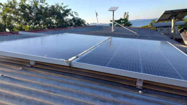
A pilot landslide monitoring station has been installed at Mission Hill in Dilkusha through technical cooperation between the Mineral Resources Department and the United States Geological Survey.
Vosarogo told Parliament that the installation marks an important step towards developing a wider monitoring network to improve the country’s preparedness for landslide hazards.
The partnership, which began in 2022 under the USGS Landslide Disaster Assistance Team program has also strengthened local expertise in landslide modelling, geological mapping, geospatial technology and laboratory analysis.
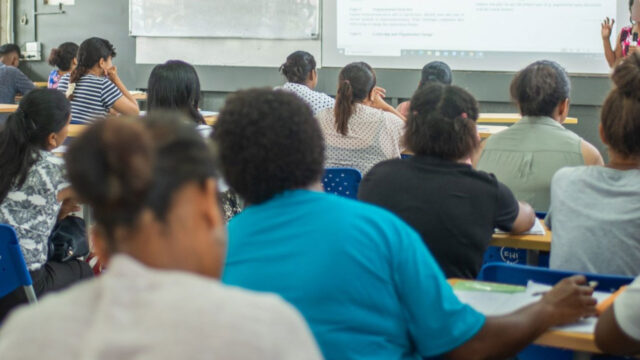
Between August and September this year, Ministry officers received advanced training in landslide modelling and monitoring, petrography and modern geological mapping techniques.
The collaboration has also introduced digital field mapping technology, with a geological mapping program conducted in Ra Province to improve the accuracy and efficiency of geological data collection.
Vosarogo said the work had strengthened the Ministry’s ability to assess, monitor and respond to landslide threats, while geological information gathered would contribute to updated maps used for infrastructure planning, resource management and disaster risk reduction.
The program has also brought together technical participants from the University of the South Pacific, the Pacific Community and Papua New Guinea’s Mineral Resources Authority.
Vosarogo said the partnership was building Fiji’s own scientific capacity, enabling local officers to provide technical advice and support government agencies in identifying geological risks.
The next major step is expanding monitoring capabilities beyond the pilot station to strengthen national preparedness against landslides.
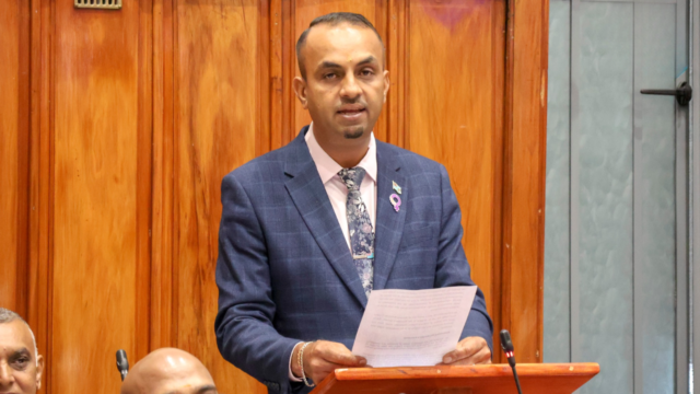
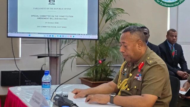
He made the comments in Parliament while responding to an oral question raised by the Assistant Minister for Transport Naisa Tuinaceva technical collaboration between the Ministry and the US Geological Survey through its Geological Division.