 Koroi Tadulala
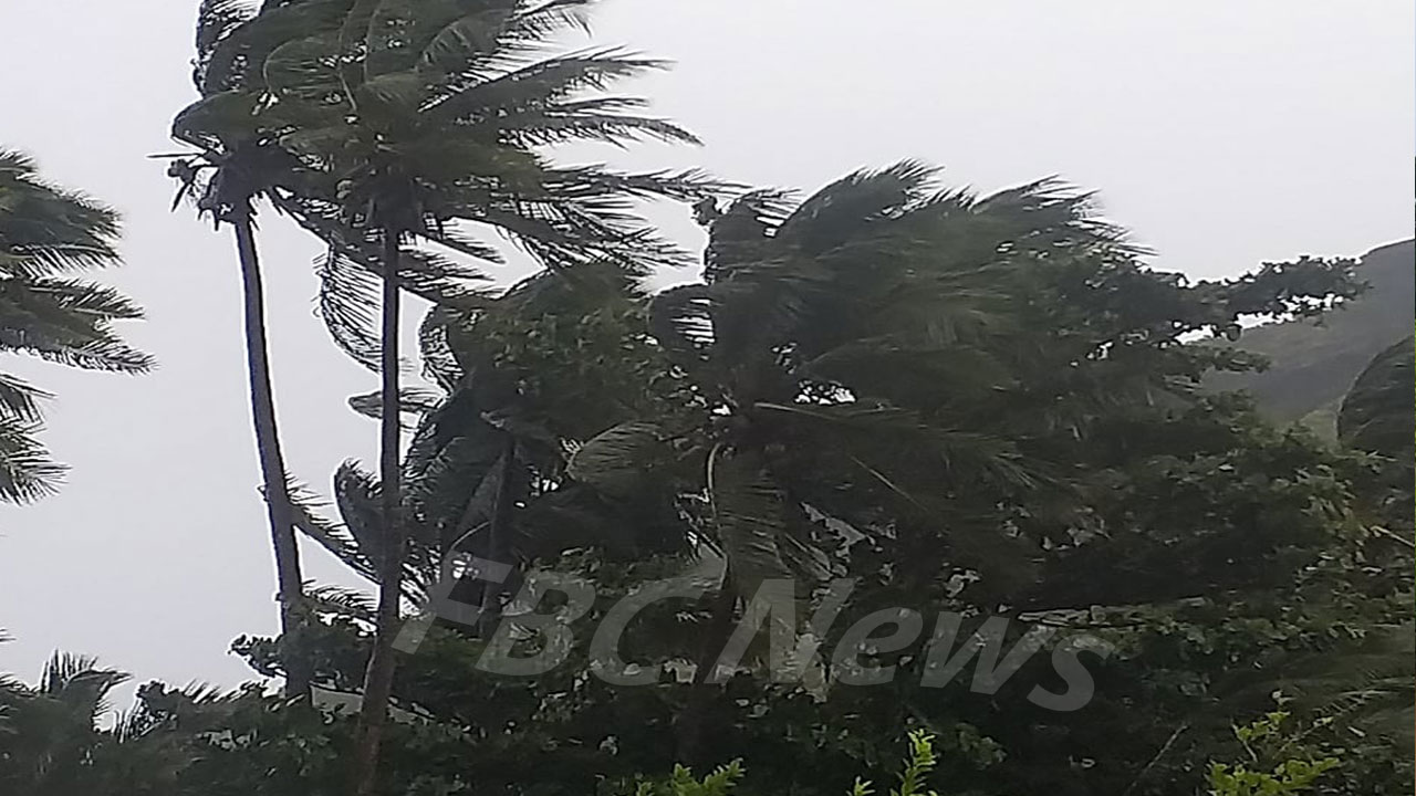
The Fiji Meteorological Service confirms villagers in Yasawa are starting to feel strong winds of 92 km/ph and gusting to 138 km/ph from midday.
Senior Forecaster Steven Meke says this is expected to further intensify from this afternoon into the night.
Meke warns that Vanua Levu and parts of Viti Levu, Lomaiviti and Lau Group can expect the same from later today.
“We anticipate for TC Yasa to make landfall just to the south-western parts of Vanua Levu over the Bua Province and it will most probably move to the Lau and Lomaiviti Group and come very close or even over Koro island before it goes down further over the rest of the Lau Group”.
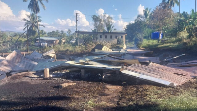
With heavy rain expected for the rest of the country, the Senior Forecaster is stressing the need for those in low lying and flood-prone areas to move to higher ground as conditions will worsen in the next 12 hours.
Meke says coastal communities can expect storm surges of up to three metres and even higher as the eye of TC Yasa moves closer.
The system is still moving east-southeastwards towards Bua.
The centre of Tropical Cyclone Yasa is expected to be located about 100km east of Yaswa-i-rara or about 90km west-southwest of Labasa at 8pm today.
The centre is also expected to make landfall over the Bua Province around 8pm as well.
Currently, TC Yasa was located about 100 kilometres north of Yasawa-i-rara or about 215 kilometres north of Nadi or about 220 kilometres west-northwest of Labasa at 11am today.
Close to its centre the cyclone is expected to have average winds up to 250km/hr with momentary gusts to 350km/hr.
The cyclone is moving east-southeast at about 19km/hr.
The centre of TC Yasa is expected to be about 50km north-northeast of Moala or about 75km east-southeast of Gau or about 165km east of Suva by 8am tomorrow.
Destructive winds are likely to begin several hours before the cyclone centre passes overhead or nearby.