 Shania Shayal Prasad
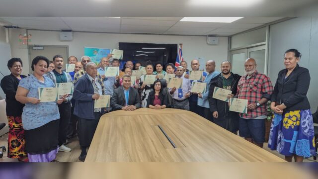
[Photo Credit: Ministry of Lands and Mineral Resources/ Facebook]
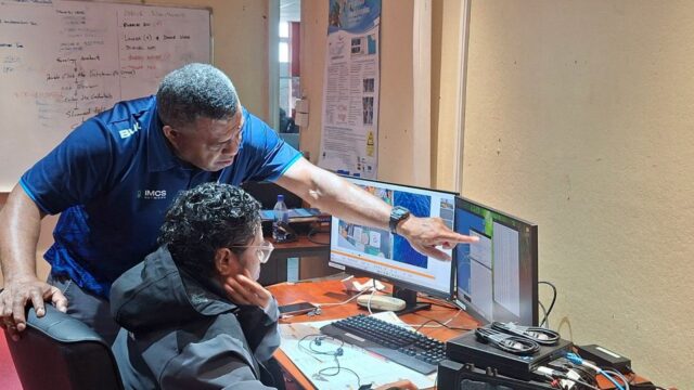
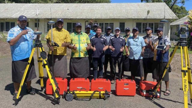
The Ministry of Lands and Mineral Resources is advancing its digital transformation agenda.
It has developed new Global Navigation Satellite Systems equipment across its Surveying, Geospatial, and Geological Survey divisions.
Three GNSS units have been procured to enhance the Ministry’s technical capacity in mapping, surveying, and environmental monitoring.
The new systems are expected to significantly improve the accuracy, efficiency, and speed of field operations.
[Photo Credit: Ministry of Lands and Mineral Resources/ Facebook]
According to the Ministry, the new equipment will allow teams to conduct faster land and cadastral surveys, enable more advanced drone mapping, and support more precise geological and groundwater assessments.
This investment aligns with the Ministry’s commitment to innovation and global best practices in land and resource management.
It is also expected to support broader national goals in sustainable development, smart infrastructure planning, and environmental resilience.