 Litia Cava
[File Photo]
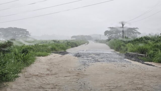
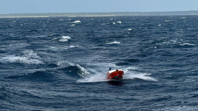
The low-pressure system associated with an active trough of low pressure has intensified into Tropical Disturbance TD04F currently positioned 140km southwest of Yasawa-i-Rara.
However, the Fiji Meteorological Office states that the likelihood of this system developing into a Tropical Cyclone remains very low due to unfavourable environmental conditions.
The disturbance along with the associated trough of low pressure is drifting eastwards with expectations to move away from the Western Division overnight and gradually retreat from the rest of the country by later tomorrow.
Despite the low probability of cyclone formation, the system is anticipated to bring periods of rain occasionally heavy and thunderstorms across most parts of the group today.
The weather is expected to ease to showers and clear from the west overnight and gradually from the rest of the group.
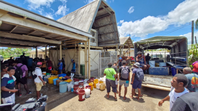
The Weather Office warns of flooding prevalent with a warning in effect for Ba and Rakiraki Rivers while a flood alert is active for Nasivi River in Tavua.
The Ba River’s water level has exceeded the warning threshold, prompting a flash flood warning for flood-prone areas, small streams and low-lying crossings in the Western, Central and Eastern Divisions.
Residents in the Western and Central Divisions are urged to remain vigilant for potential flooding during the afternoon and evening coinciding with the high tide at 6pm today.
A heavy rain and strong wind warning remains in force for the entire Fiji Group.
Winds of this magnitude pose a risk of isolated damage to tree branches as well as houses constructed of very light materials or in exposed communities.
Weather conditions are expected to gradually ease from the Western Division overnight and extend across the rest of the group.
The Fiji Meteorological Service will continue to closely monitor the situation.