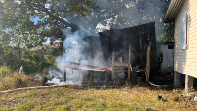
 Bose Vavataga
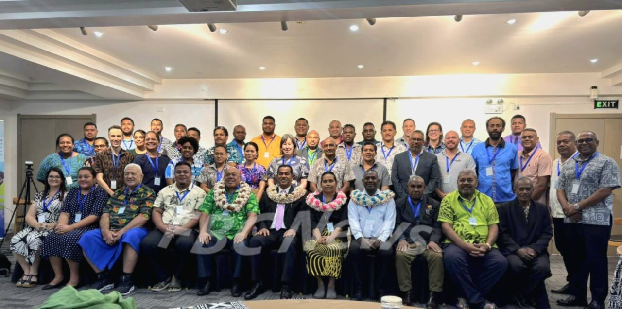
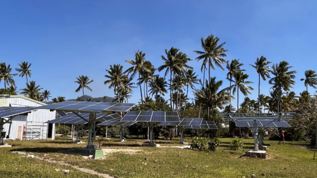
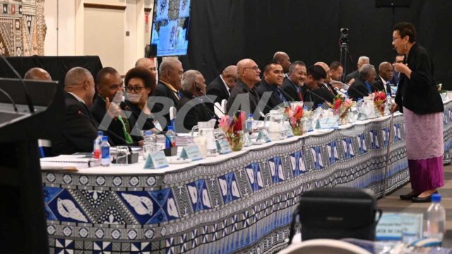
Stronger use of geospatial systems is needed across the Pacific to turn shared challenges into real results.
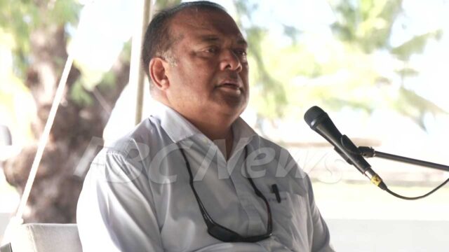
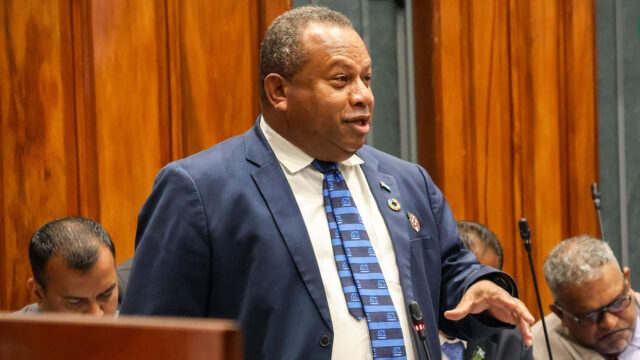
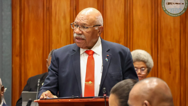
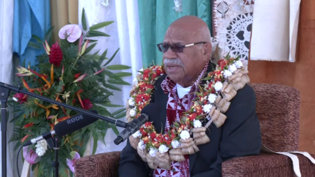
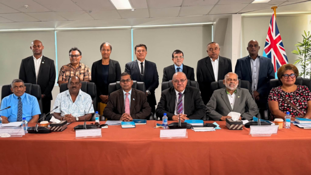
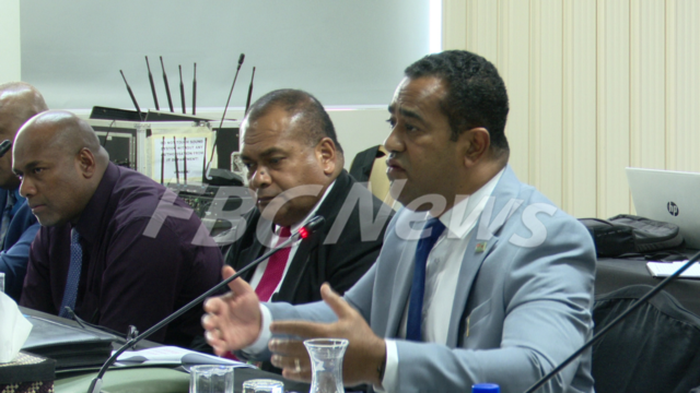
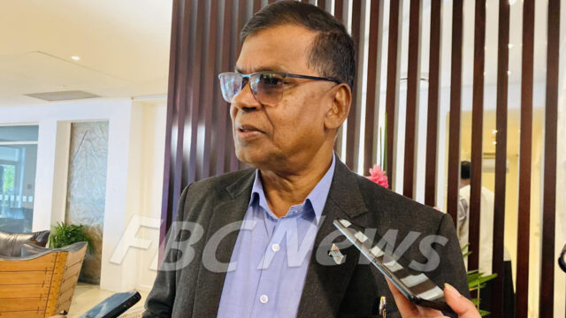
Minister for Lands and Mineral Resources Filimoni Vosarogo says countries must move beyond talk and start using the tools already available through regional cooperation.
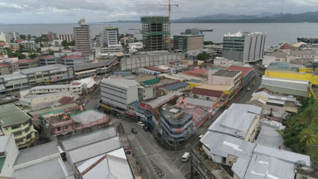
Speaking at the opening of the Pacific Geospatial and Surveying Council meeting in Nadi, he says support systems exist but are not fully used at national level.
Vosarogo says geospatial science and surveying are critical, not optional.
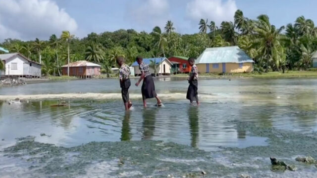
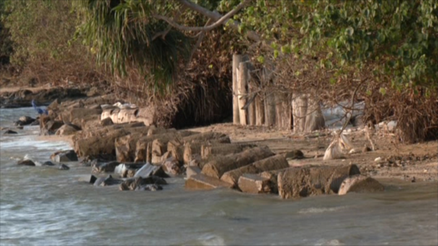
He says they support resilience, protect sovereignty, and guide development, especially as the region faces rising seas and climate impacts.
He is calling on governments to make full use of training, funding, equipment, and shared expertise available through the council.
He also stressed the need to strengthen sea level monitoring, saying hosting stations is an investment in national security and better planning.
“Major projects such as LiDAR, high-resolution satellite campaigns, and integrated mapping initiatives are coming. The question is not whether the data will be collected, but whether it will be used to strengthen our national institutions or simply they will pass to us”
He adds that stronger leadership and governance are needed so data is used in decision-making.
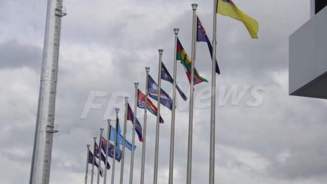
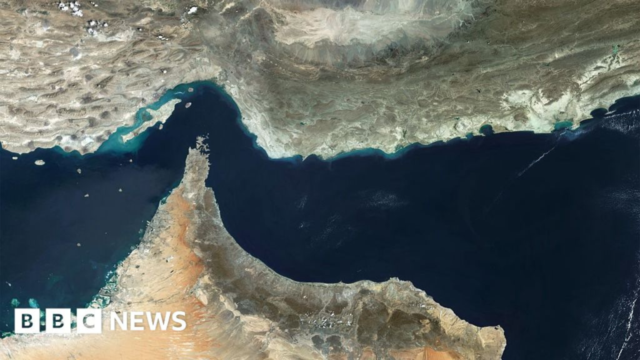
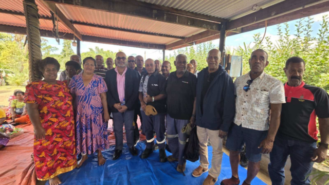
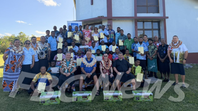
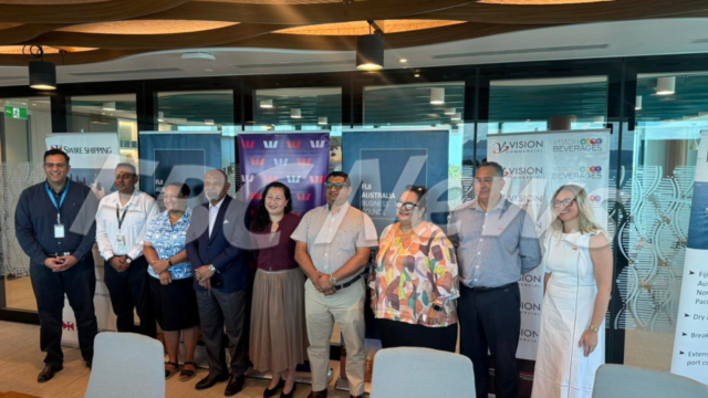
The meeting in nadi sees leaders from pacific region talk about mapping, land surveys, ocean boundaries, and geographic information systems (GIS).
The meeting in Nadi brings together Pacific leaders to discuss mapping, land surveys, ocean boundaries, and geographic information systems.