 Reuters
[Source: Asia One]
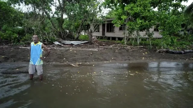
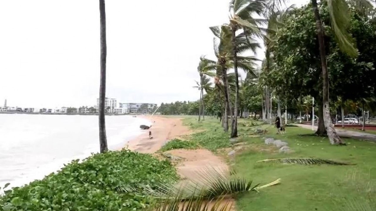
Residents in parts of Australia’s Northern Territory and Queensland state were urged on Sunday to prepare for a tropical cyclone that is forecast to make landfall in coming days.
Megan, a category two cyclone sitting in the Gulf of Carpentaria with wind gusts up to 155 kph (96 mph), was expected to cross the coast on Monday or early Tuesday morning as a “severe tropical cyclone”, the nation’s weather forecaster said.
Australia is experiencing an El Nino weather event, now easing, and typically associated with extreme phenomena such as cyclones, wildfires, droughts and heatwaves.
Gales with damaging wind gusts of 110 kph were already sweeping remote Groote Eylandt, off Northern Territory’s Arnhem Land, about 653 km east of territory capital Darwin, the forecaster said.
It was likely Megan would intensify to category three later on Sunday, the weather forecaster said, urging those in the warning zone to prepare their properties for strong winds.
Category two cyclones are three rungs away from the most dangerous and can cause significant damage to trees, caravans, and crops, and break boats from their moorings. Category three cyclones typically cause more severe damage to houses, shops and other buildings.
In January, Queensland was hit by Tropical Cyclone Kirrily, the second tropical cyclone in the area since December, when Cyclone Jasper caused widespread regional damage, including in coastal towns close to the Great Barrier Reef.