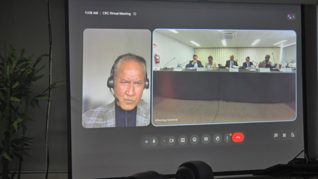
 Sainiani Boila
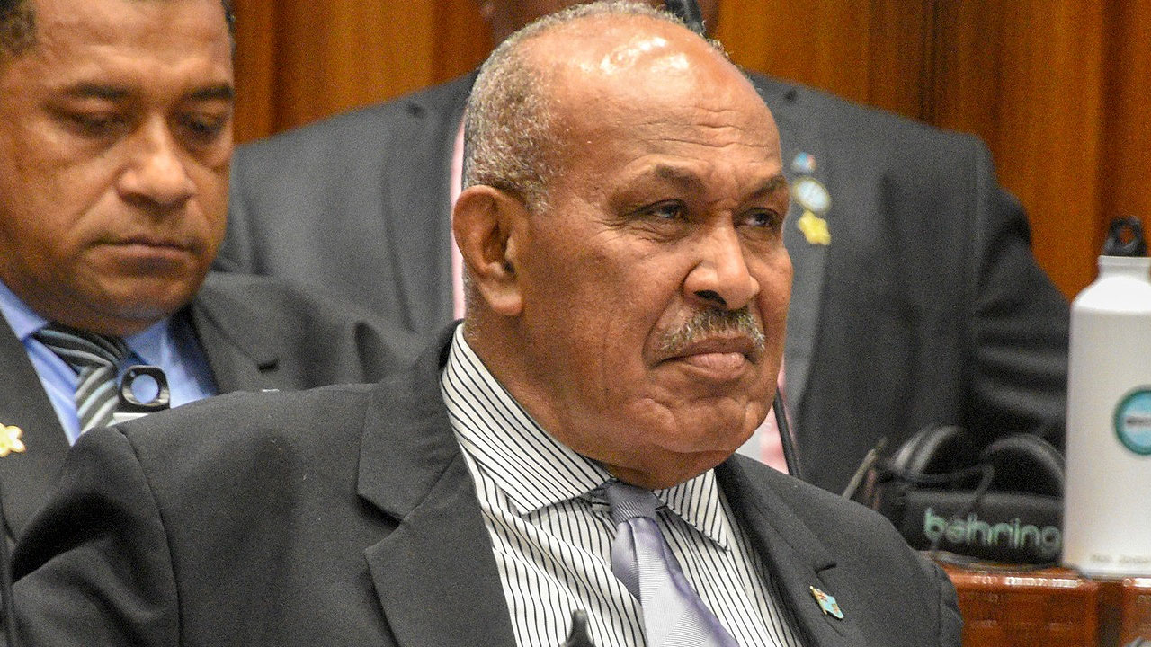
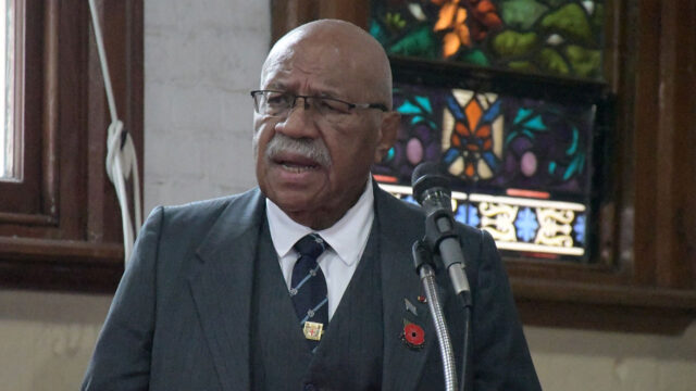
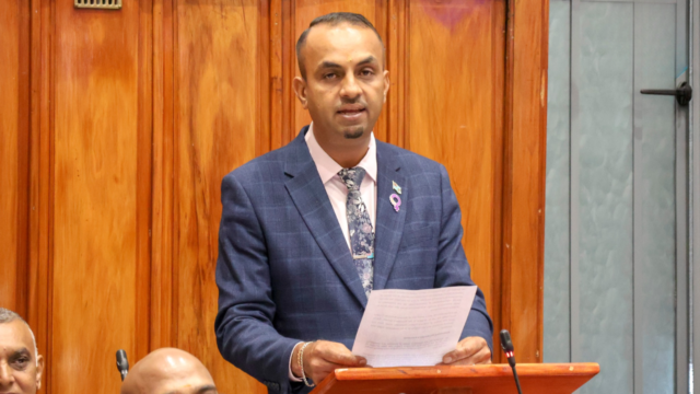
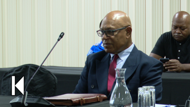
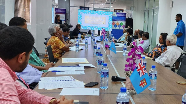
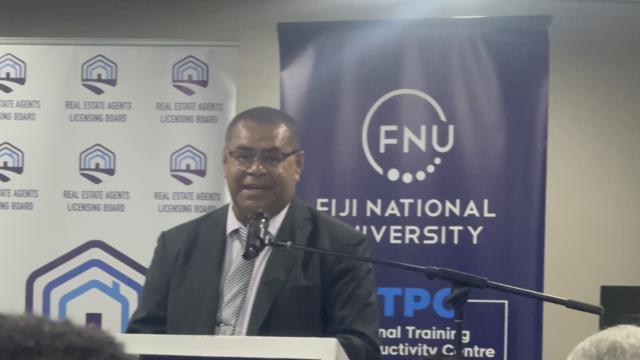
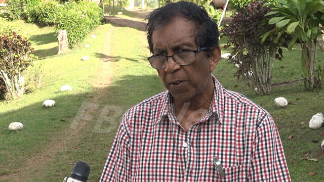
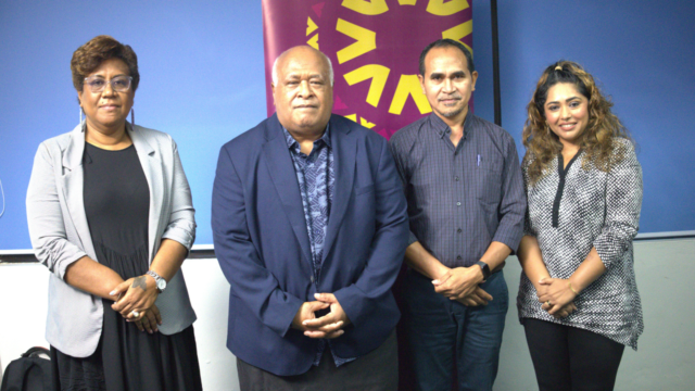
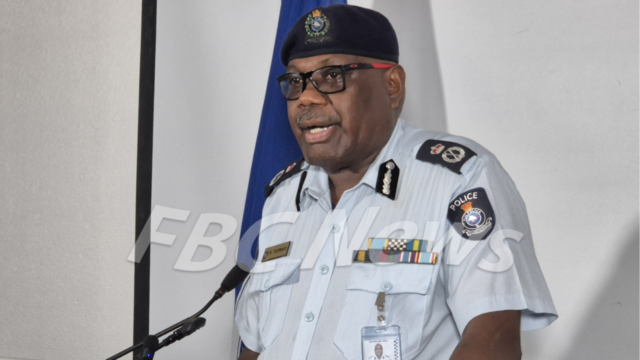
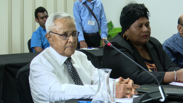
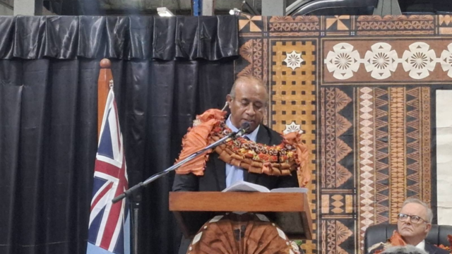
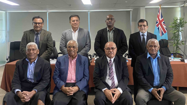
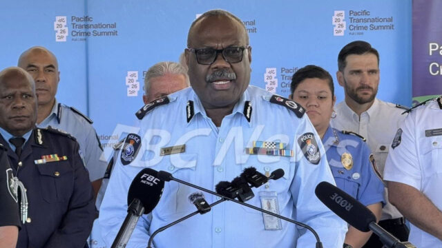
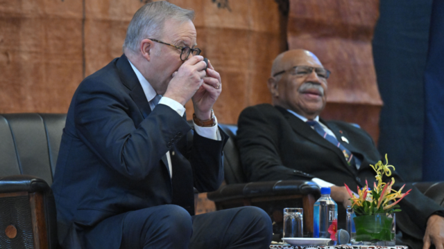
the Minister for i-Taukei Affairs, Ifereimi Vasu [Source: Parliament of the Republic of Fiji/Facebook]
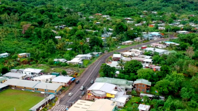
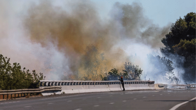
The boundaries between Ra and Ba provinces are currently being surveyed by the National Land Commissioner’s surveying department.
This was confirmed by the Minister for i-Taukei Affairs, Ifereimi Vasu, following a longstanding dispute between the two provinces over their territorial boundaries.
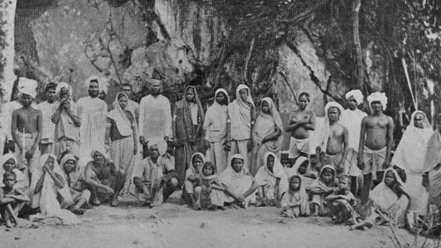
Vasu explains that the original boundary was established during the Great Council of Chiefs meeting in Waikava, Cakaudrove, in 1876.
He says a significant review of the i-Taukei Administration took place in 1985, leading to the Boundary Amendment Regulation in 1991, which shifted the boundary to its current location at the bridge end in Yaqara.
Initially, the boundary extended to Kauvoli Freehold near Nakorovou, beyond Tavua toward Rakiraki.
“During the 2022 Ra Provincial Council meeting, it was highlighted that Rabulu village, although officially part of the Ba province, continued to contribute its vanua soli to the Ra province. Additionally, the village’s turaga ni koro was serving both provinces, which created issues for the Ra province. Consequently, a committee was established in Ra to address this matter.”
Vasu says this committee conducted discussions with the people of Rabulu and Drauniivi, the landowners of the disputed land, holding three sessions.
Following these discussions, further consultations were held with the people of Bila, the Tui Tavua, where he requested that the issue be resolved.
Meetings were also held with the Turaga na Tui Navitilevu.
The discussions concluded with a decision to conduct a survey to clarify the boundaries.
The survey aims to confirm that the village of Rabulu belongs to Ba province, thereby resolving the boundary dispute.