 Shania Shayal Prasad
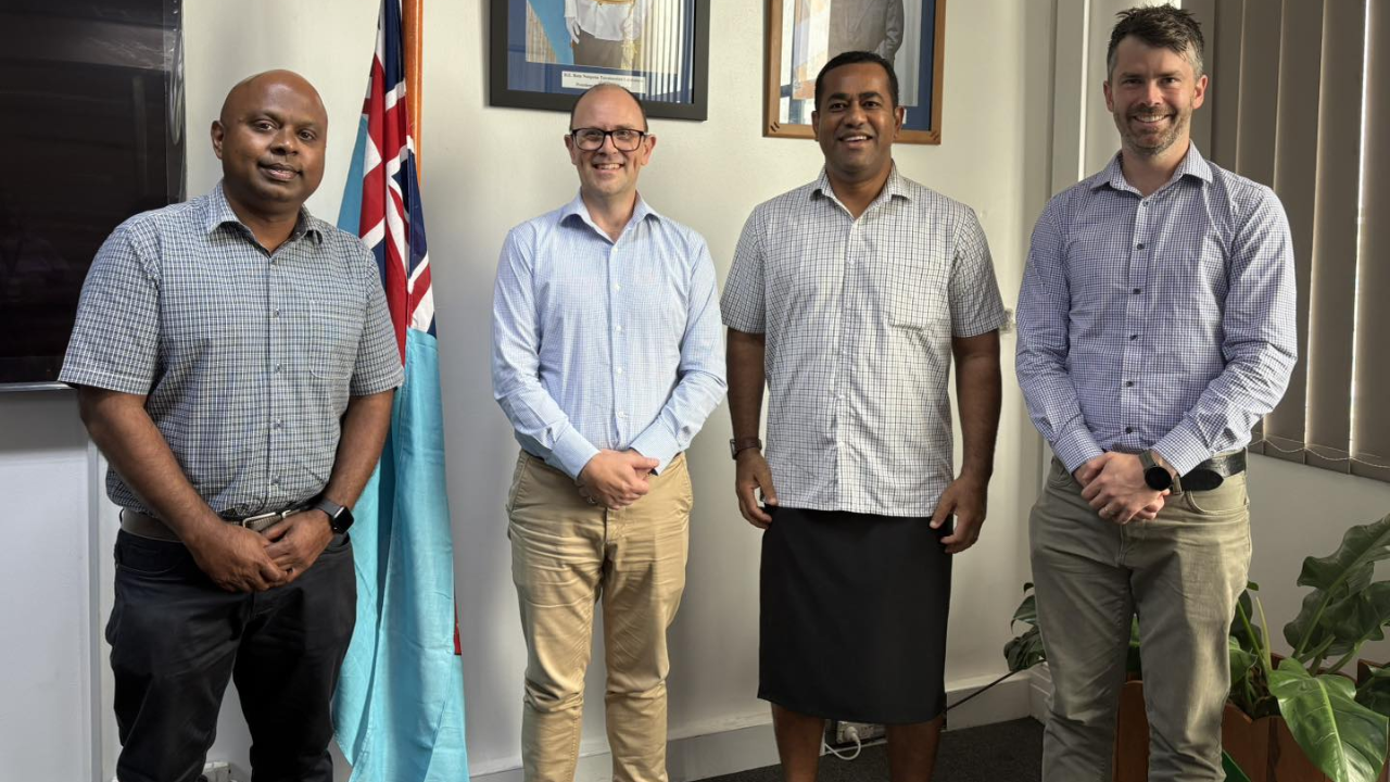
[Source: Ministry of Lands and Mineral Resources/ Facebook]
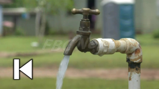
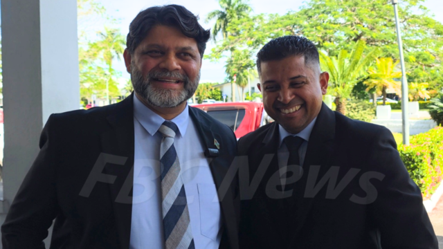
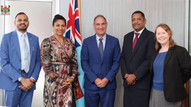
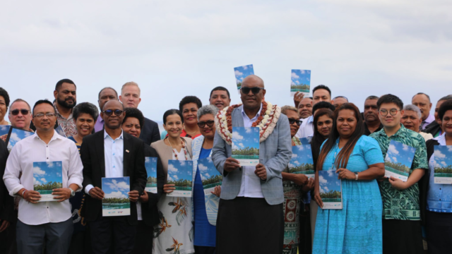
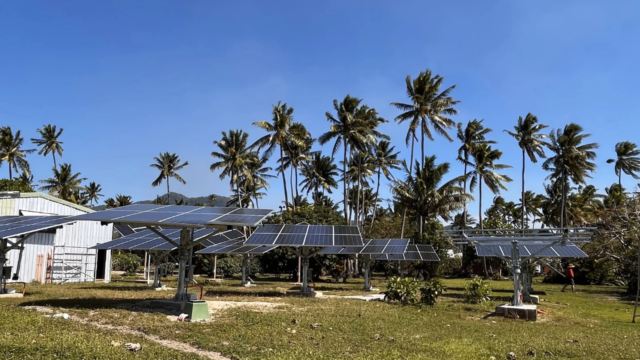
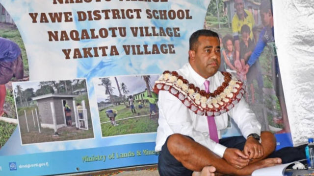
The Ministry of Lands and Mineral Resources is set to introduce a cutting-edge groundwater mapping project aimed at improving water access across the country.
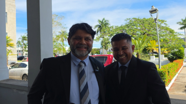
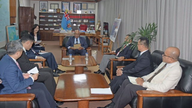
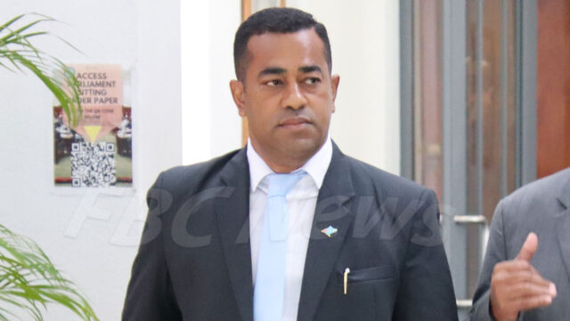
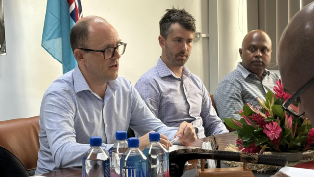
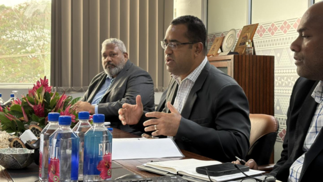
Minister Filimoni Vosarogo met with officials from Geoscience Australia and the Australian High Commission today to discuss the rollout of an Airborne Electromagnetic survey, which will use helicopter-mounted technology to detect and map underground water sources.
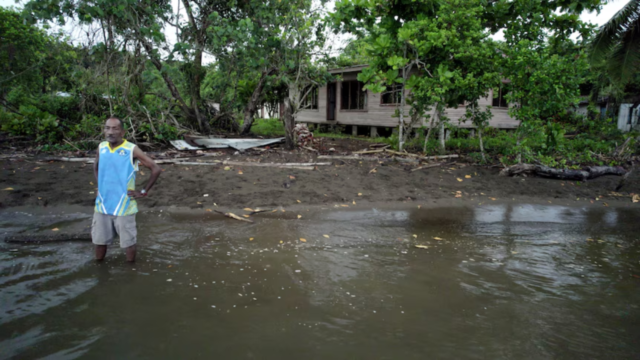
This initiative is designed to strengthen water security in remote and maritime communities, many of which fall outside the national water supply grid.
[Source: Ministry of Lands and Mineral Resources/ Facebook]
The project marks a shift from labour-intensive, traditional 2-D methods to faster, more accurate data collection, enabling the Ministry to make better-informed decisions on groundwater availability.
[Source: Ministry of Lands and Mineral Resources/ Facebook]
The Ministry says the technology has been safely used in other countries and will operate at safe distances with no risk to the public.
The AEM survey is part of broader efforts to ensure no Fijian is left behind in accessing clean and reliable water.