 Riya Mala
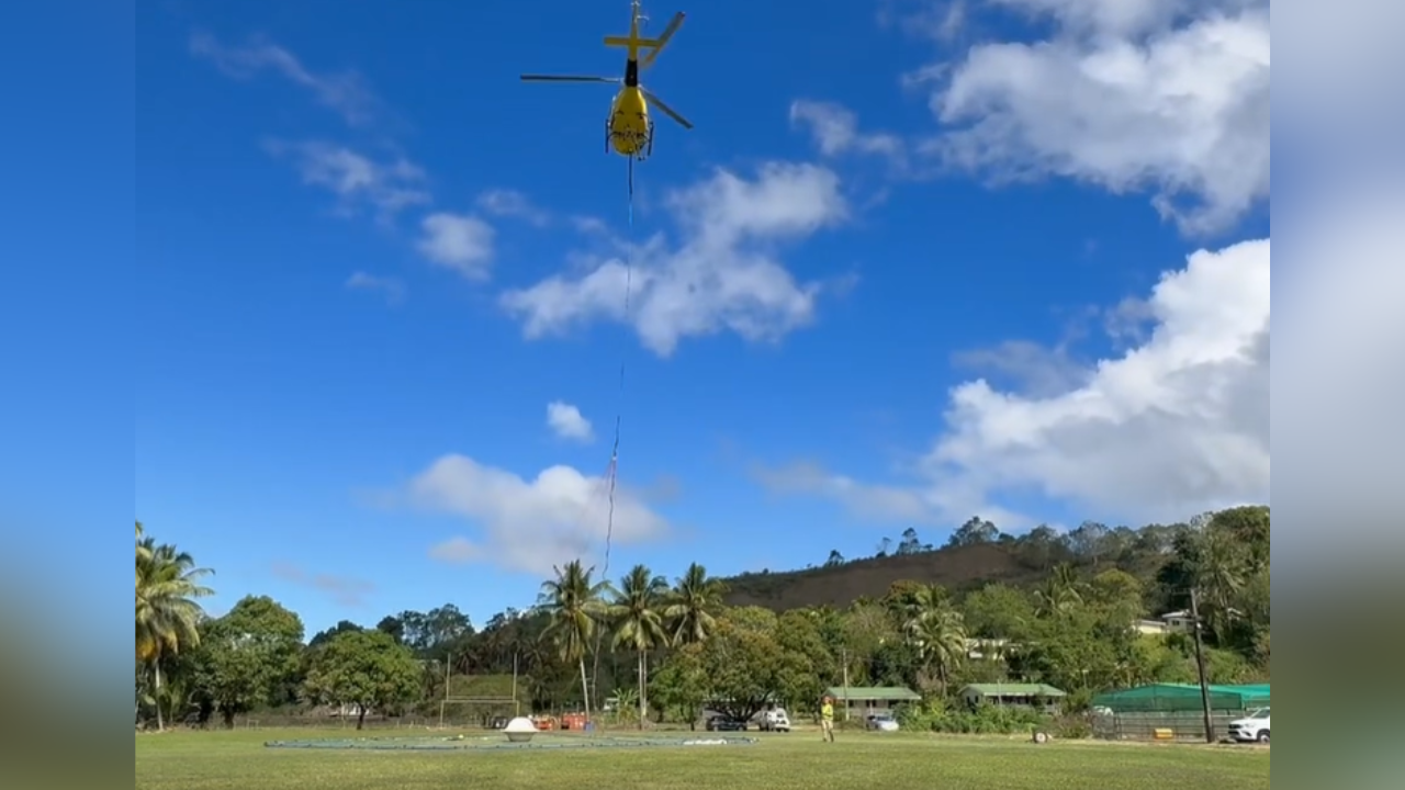
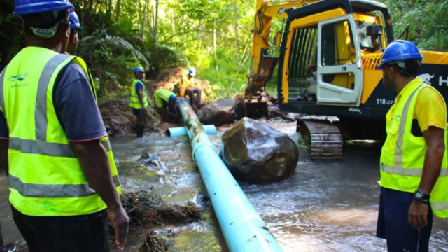
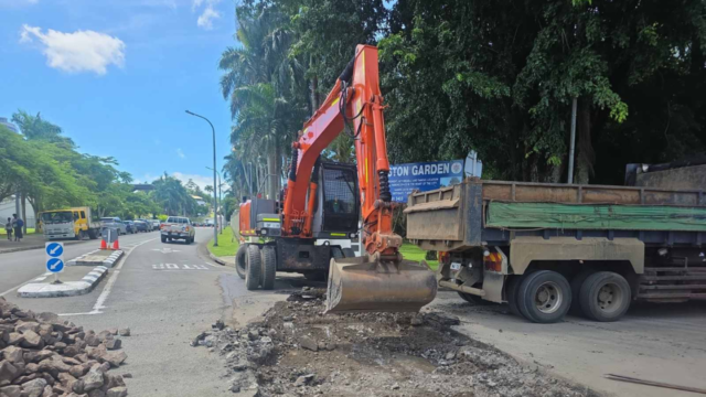
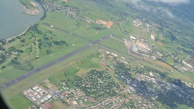
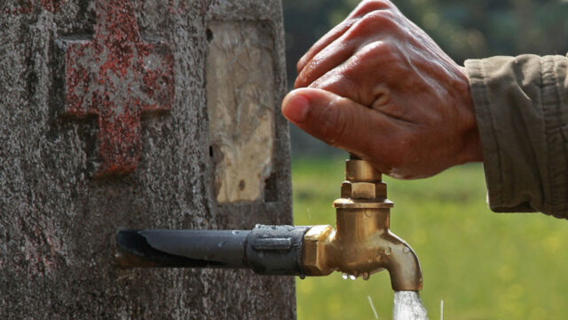
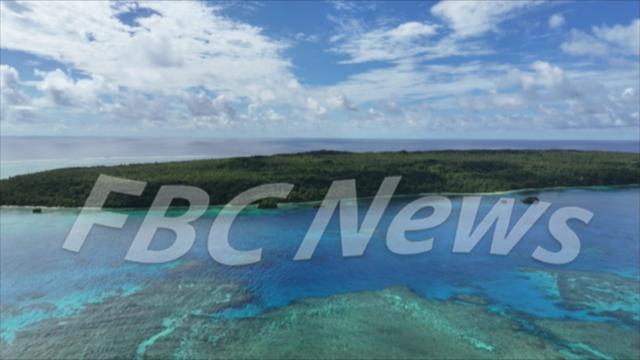
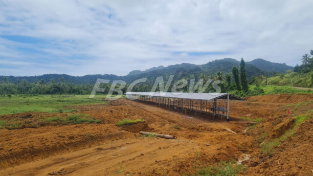
Airborne Groundwater Survey in Nacocolevu [file photo]
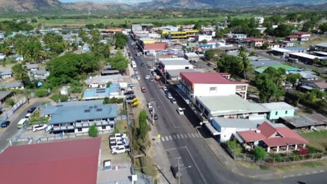
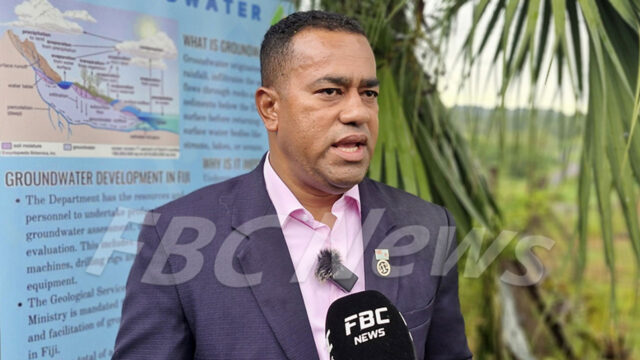
The Ministry of Mineral Resources is now using airborne geophysical survey technology to improve groundwater surveys.
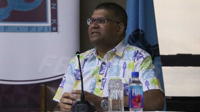
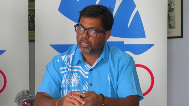
Minister Filimoni Vosarogo says that the previous method, Electrical Resistivity Tomography, was slow and labor-intensive.
He adds that because groundwater is a hidden resource and borehole results are often uncertain, the ministry is now adopting this new, more efficient technology.
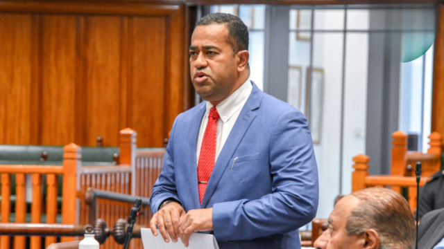
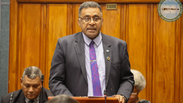
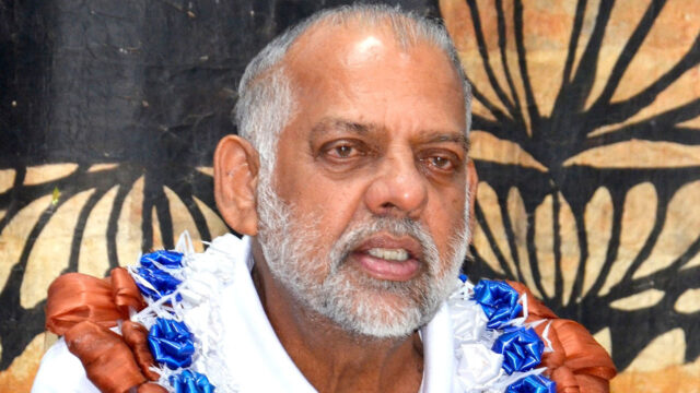
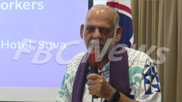
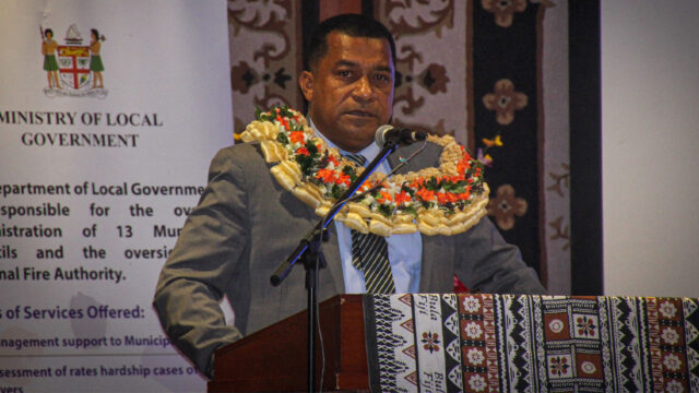
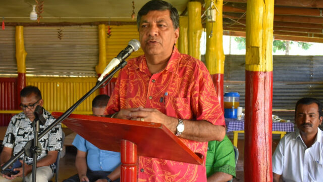
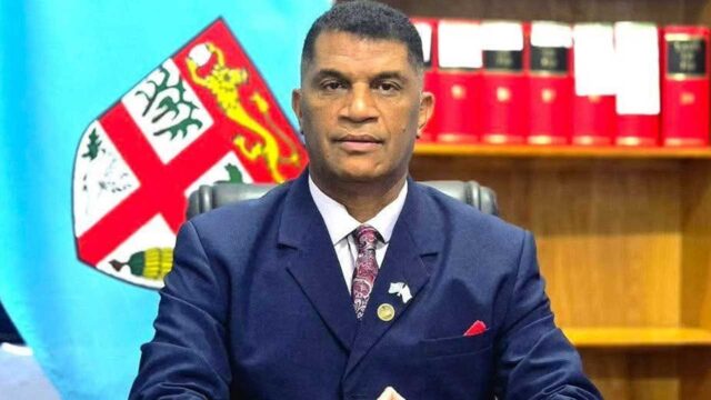
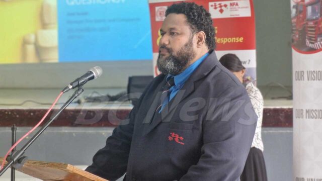
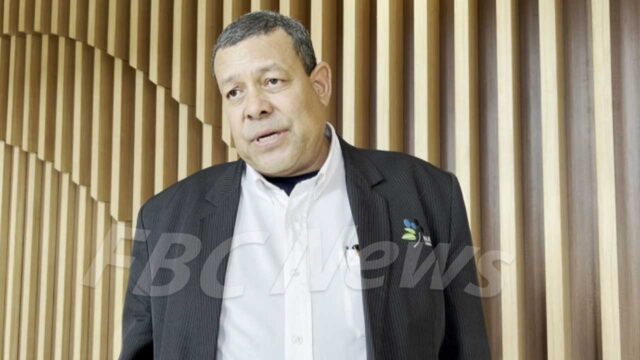
Mineral Resources Minister Filimoni Vosarogo
Vosarogo says the aircraft-based method allows faster and more efficient surveying of large areas.
“The survey was launched last month and will cover priority areas on Viti Levu and Vanua Levu that are not currently serviced by the Fiji Water Authority and where water scarcity is known to be an issue.”
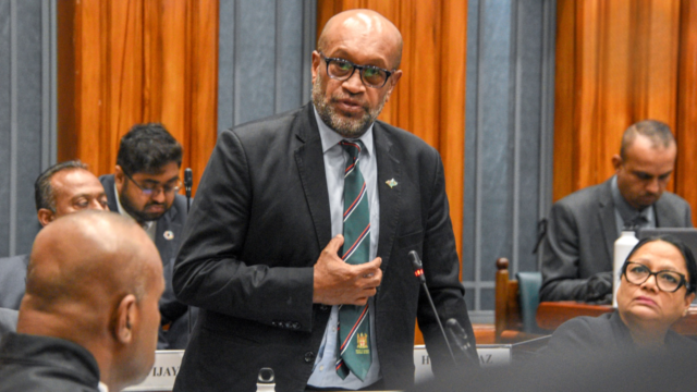
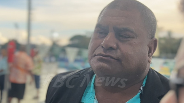
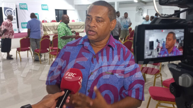
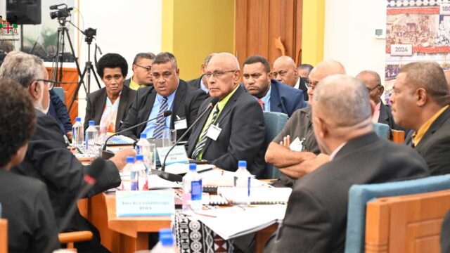
Opposition MP Jone Usamate
However, Opposition MP Jone Usamate has raised questions about how these technologies will contribute to water management.
“I’m just wondering one of the things we’ve always been interested in is understanding the size of our groundwater resource, because it is valuable. I’m curious if the minister is considering using this approach to better estimate the amount of aquifer and groundwater in the country so we can manage it properly.”
In response, Vosarogo says that before working on these projects, they sought advice from experts.
The Ministry of Mineral Resources hopes to increase its groundwater survey success rate from 80% to 90% by using the new airborne geophysical survey technology. Over the next three years, the ministry will collaborate with four private drilling companies to help more communities access groundwater.
Stream the best of Fiji on VITI+. Anytime. Anywhere.