 Shania Shayal Prasad
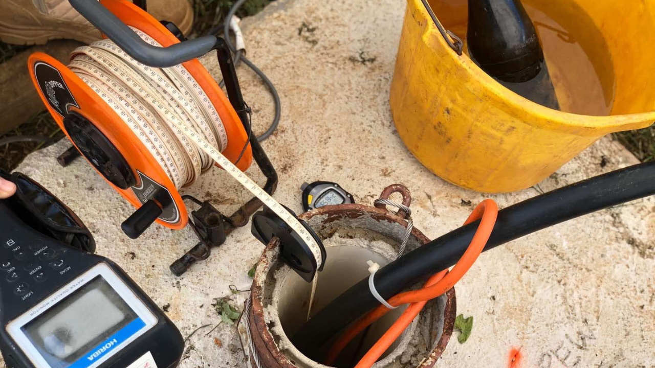
Source: Fiji Government / Facebook
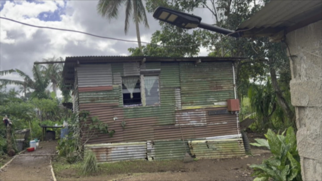
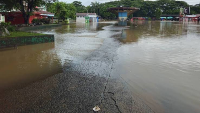
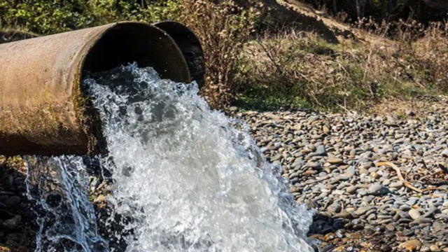
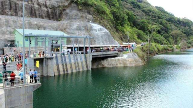
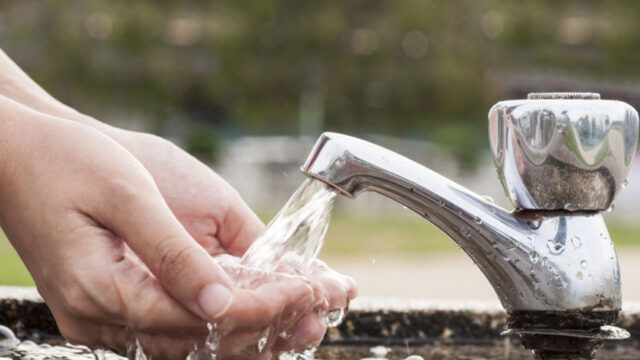
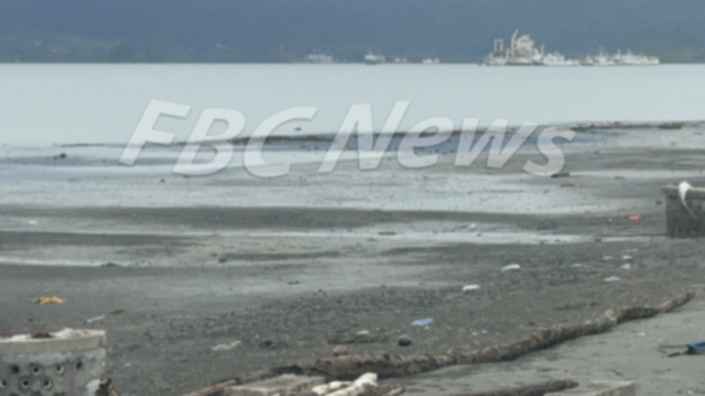
Fiji is facing a mounting freshwater crisis, with almost half of treated water lost through ageing pipes.
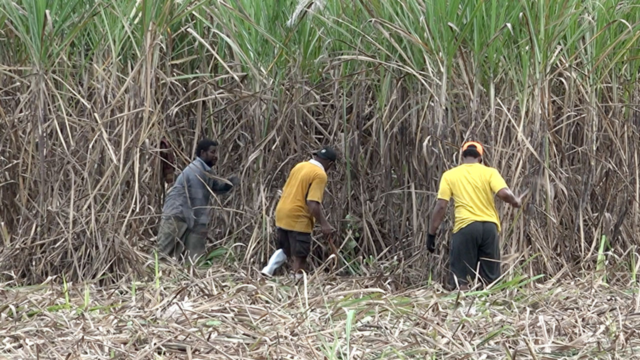
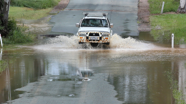
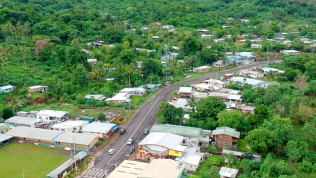
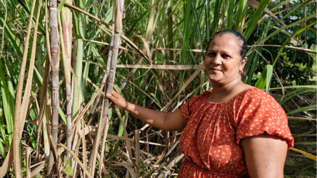
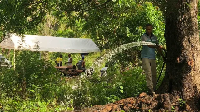
Rural communities remain heavily dependent on shallow and unreliable wells.
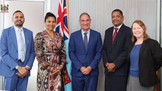
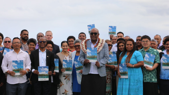
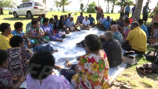
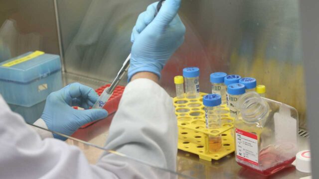
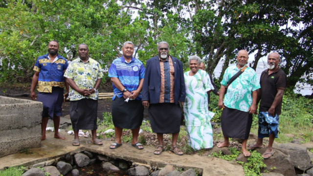
To address the issue, the Ministry of Lands and Mineral Resources, in partnership with the Australian government through Geoscience Australia has launched a major groundwater mapping project on Viti Levu.
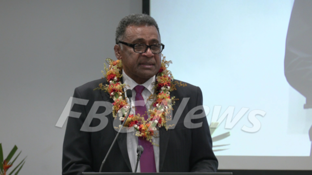
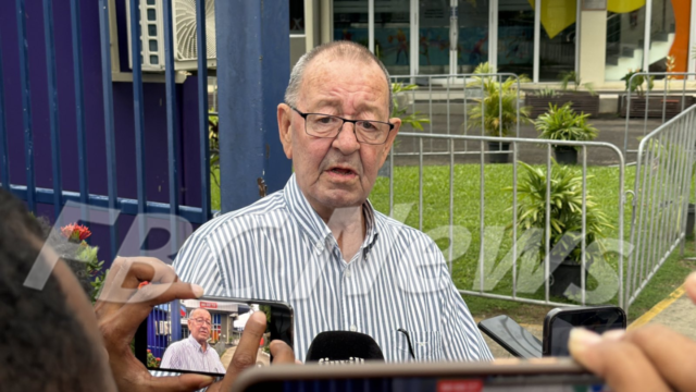
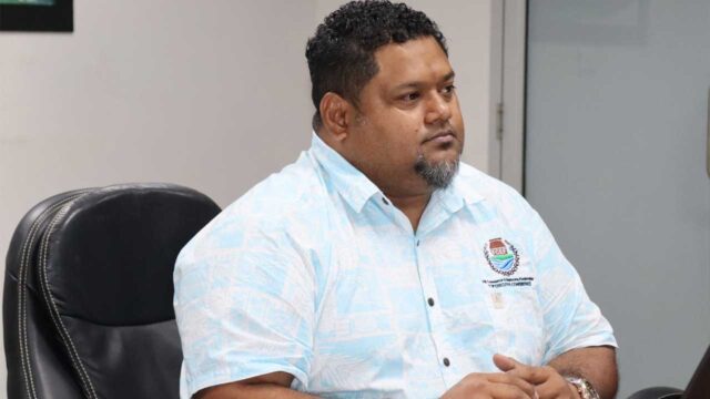
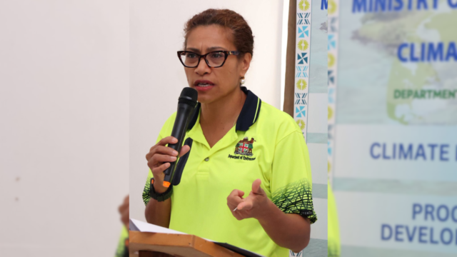
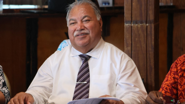
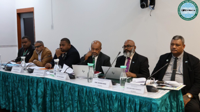
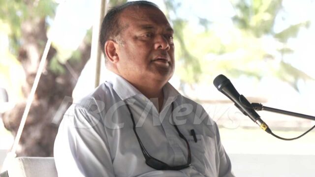
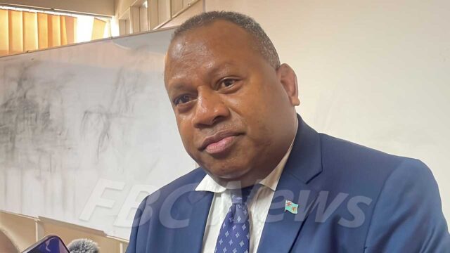
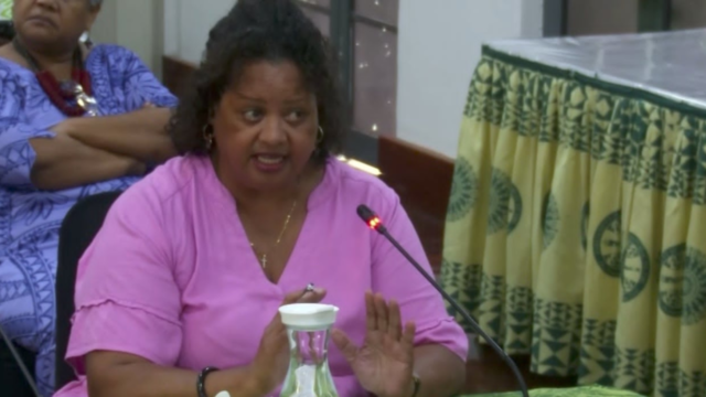
Lands Minister Filimoni Vosarogo said this was the government’s largest scientific investment in water resources and marks a breakthrough in ensuring rural and maritime communities can access safe, sustainable water through science-based planning.
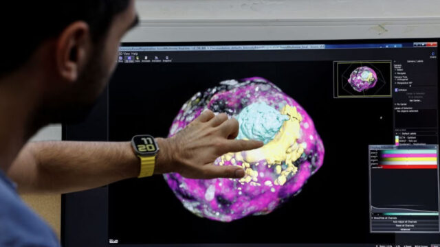
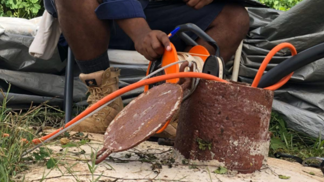
The project uses helicopter-mounted electromagnetic sensors to detect underground water reserves at depths of up to 300 metres.
“This partnership is a major breakthrough in our efforts to provide reliable groundwater data across Fiji. It means our rural and maritime communities, many of whom rely solely on groundwater, will benefit from science-based planning to ensure safe and sustainable water access.”
 |
 |
 |
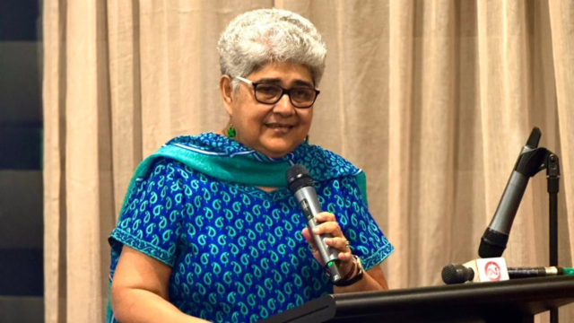
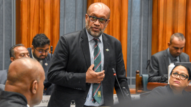
SPC Deputy Director-General Dr Paula Vivili states similar surveys across the Pacific have helped communities under climate pressure, providing critical data for water security.
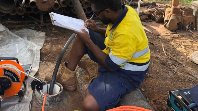
The mapping will generate three-dimensional models showing groundwater distribution, water quality indicators, and sustainable yield estimates.
Preliminary results are expected in the coming months to guide immediate planning, with community engagement central to local decision-making.