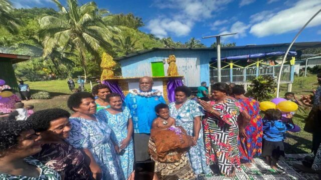
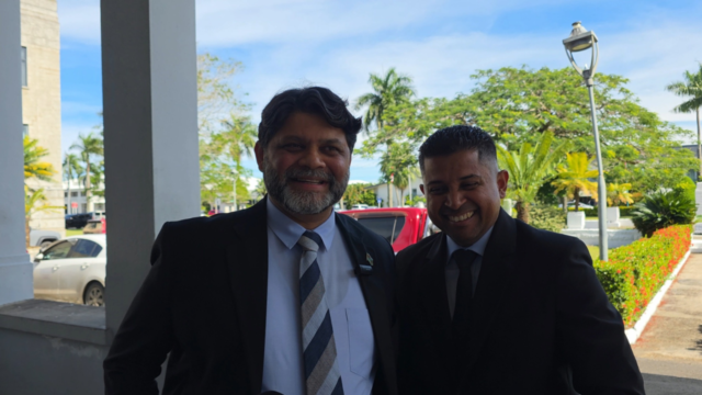
 Peceli Naviticoko
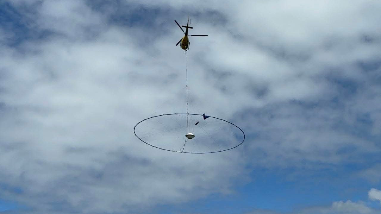
[Photo: Supplied]
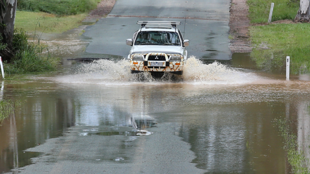
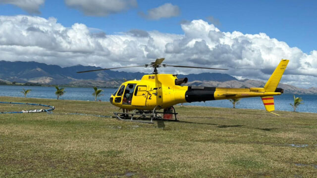
The Ministry of Lands and Mineral Resources has confirmed that the Airborne Electromagnetic (AEM) Survey has now moved to Vanua Levu for the next phase of operations, which begins today.
The Ministry says the three-week survey forms part of the ongoing AEM Survey Project, a joint initiative between the Ministry and Geoscience Australia.
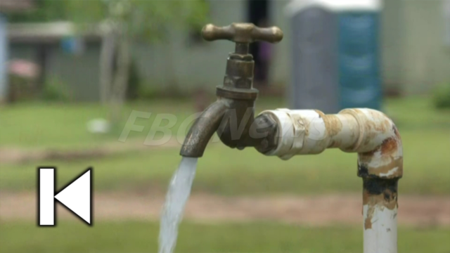
This work supports Fiji’s Groundwater Assistance Program, a national effort to drill around 1,700 boreholes over the next three to four years to ensure reliable water access for communities across the country.
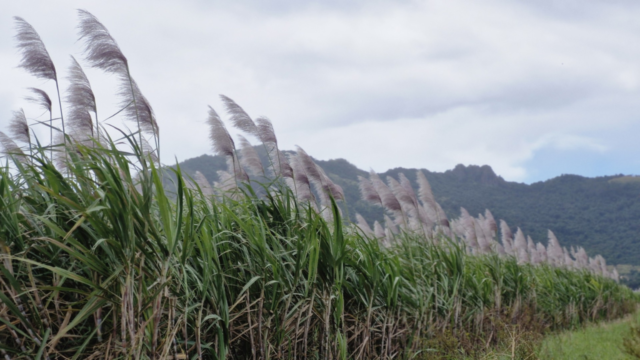
According to the Ministry, this is the first survey of its kind in Fiji and aims to help identify new groundwater sources, strengthen climate resilience, and support long-term national planning for water security.

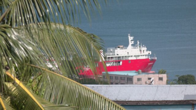
[Photo: Supplied]
The AEM Survey uses low-flying aircraft equipped with electromagnetic sensors to map underground water and geological features.
The Ministry says the aircraft will operate along designated routes across Vanua Levu and may fly at low altitudes, producing some temporary noise.
However, it adds that the survey poses no risk to the environment, infrastructure, or human health.
[Photo: Supplied]
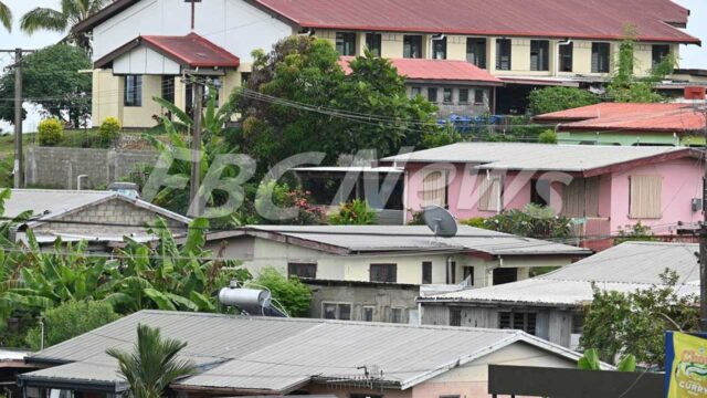
The main operations base for the Vanua Levu phase is located at the Ministry of Waterways Ground near Damodar City in Labasa, with a fuel cache at the Seaqaqa Agriculture Station.
This project, which began in July this year, has successfully completed the Viti Levu phase.