 Edwin Nand
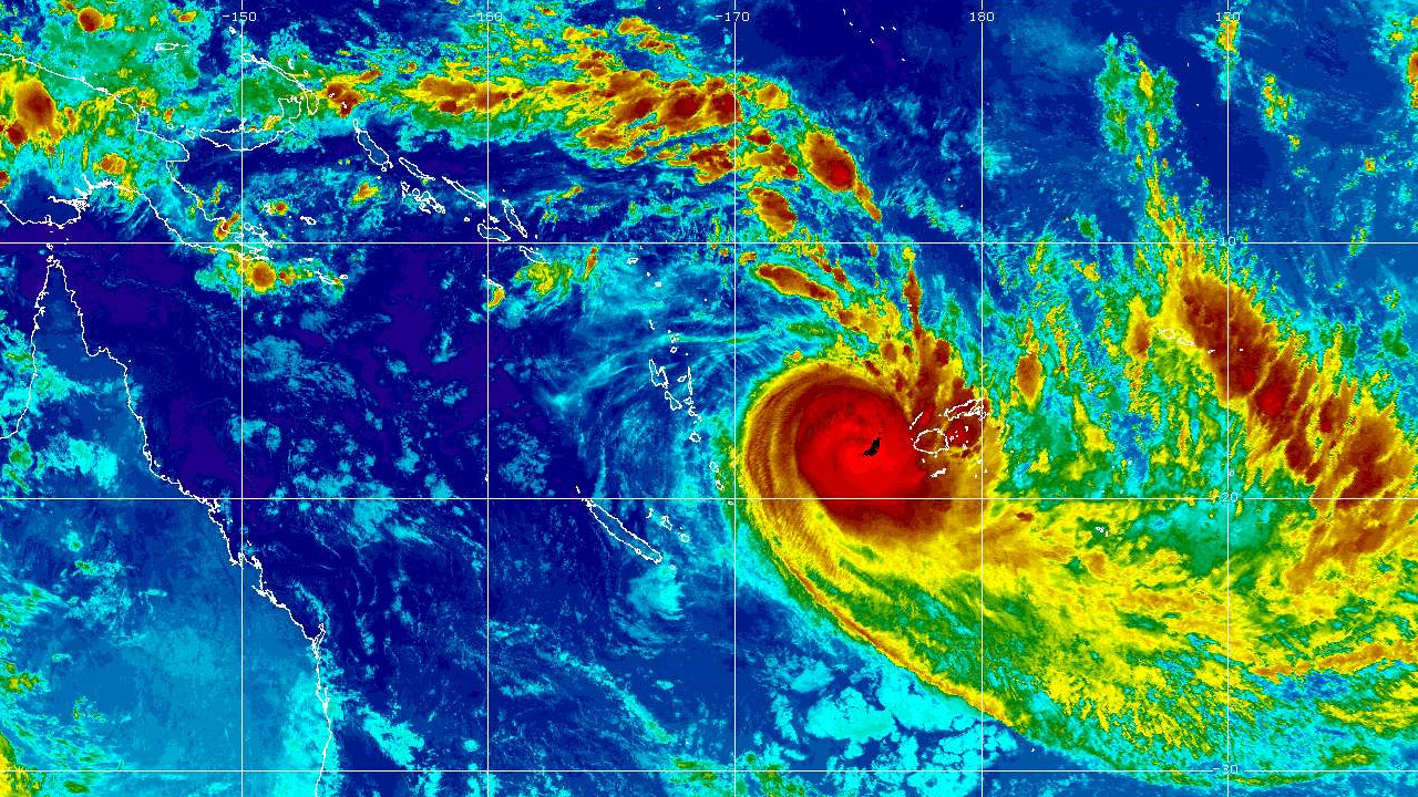
[Source: Fiji Meteorological Service]
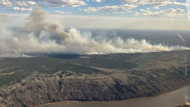
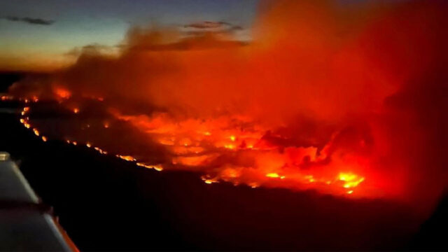
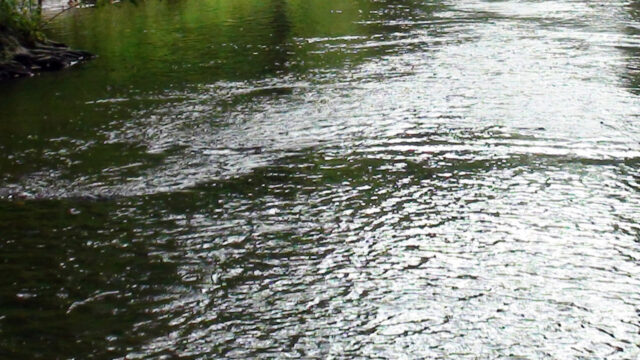
Severe Tropical Cyclone Harold passed close to Kadavu at around 2pm today.
TC Harold Category 4 was located about 190 kilometres South-southeast of Nadi or about 30 kilometres Southeast of Kadavu at 2pmm today.
Close to its centre the cyclone is estimated to have average winds up to 175 km/hr with momentary gusts to 250 km/hr. The cyclone is currently moving east-southeast at about 36 km/hr.
On this track, TC Harold Centre is expected to be about 100 kilometres Northwest of Ono-i-Lau or 260km East-Southeast of Kadavu at 2am tomorrow. It is likely to move 740 kilometres East-southeast of Ono-i-Lau by 2pm tomorrow.
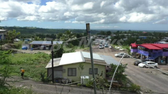
A Tropical Cyclone warning remains is now only in force for Kadavu, Matuku, Vatoa and Ono-i-Lau.
A storm warning remains in force for the Southern part of Viti Levu [from momi through to coral coast To pacific Harbour], Beqa, Vatulele, Moala, Totoya, Vanuavatu and the rest of Southern Lau Group.
A gale warning remains in force the rest of Viti Levu, Yasawa and Mamanuca Group, Lomaiviti Group for the Rest of the Lau group, Vanua Levu, Taveuni and nearby smaller Islands.
A strong wind warning remains in force for the rest of Fiji.
A damaging heavy swell warning remains in force for the Southern coast of Viti Levu, Vatulele, Beqa, Kadavu, Yasayasa Moala, Lomaiviti and Southern Lau Group. It is cancelled for Yasawa, Mamanuca Group and the Western Viti Levu coasts.
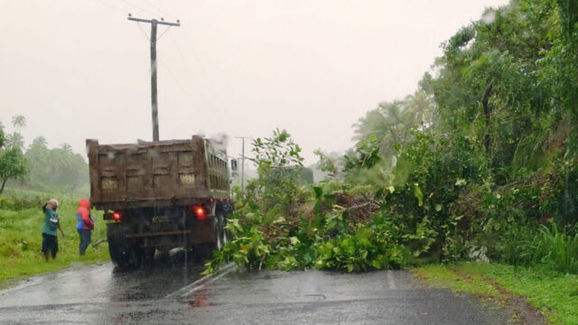
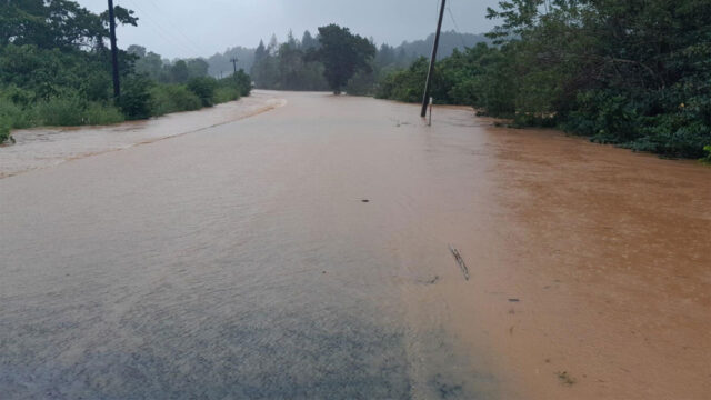
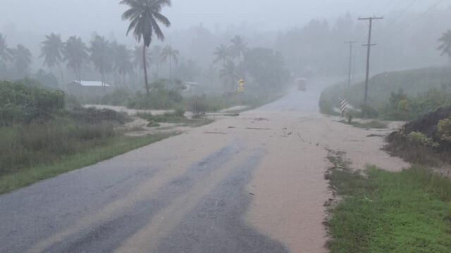
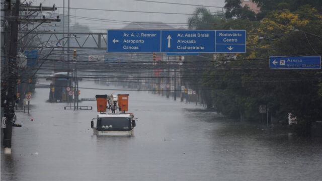
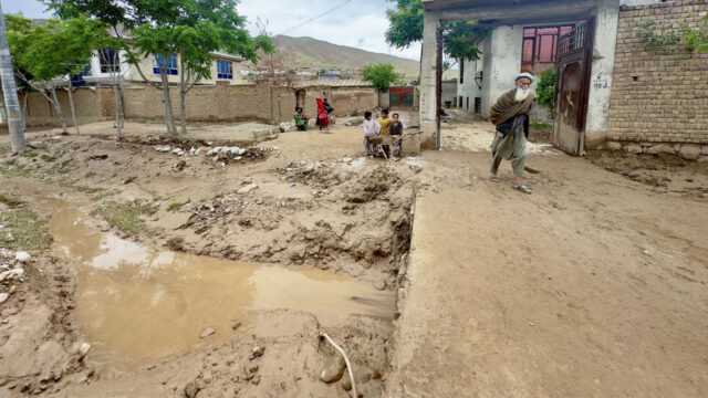
A heavy rain warning remains in force for the Fiji group.
A flash flood warning remains in force for low lying areas and small Streams within the Rakiraki catchment and for the rest of the low lying areas and small streams within catchments in Fiji.
Destructive and damaging winds are likely to begin a few or several hours before the cyclone centre passes nearby.
For Kadavu, Beqa, Vatulele, Matuku, Vatoa and Ono-i-lau, very destructive hurricane force winds with speeds up to 170 km/hr and momentary gusts to 240 km/hr. Periods of rain, heavy at times With squally thunderstorms.
Damaging heavy swells with sea flooding of low lying coastal areas expected during high tides, with storm surge heights upto 2 metres expected along the coasts when centre passes nearby.
For the rest of the Southern parts of Viti Levu, Moala, Totoya, Vanuavatu, and the rest of southern Lau group, destructive storm force winds with speeds up to 110 km/hr and Momentary gusts to 155 km/hr. Periods of rain, heavy at times with Squally thunderstorms.
Localized heavy rain may lead to flash flooding of low lying areas.
Damaging heavy swells with sea flooding of low lying coastal areas expected during high tides, with storm surge heights up to 2 metres expected along the coasts when centre passes nearby.
For yasawa and mamanuca group, Lakeba, Cicia and the rest of the Lau Group, Vanua Levu, Taveuni and nearby smaller islands, damaging gale force winds with average speeds up to 85 km/hr and momentary gusts to 120 km/hr. Periods of rain, heavy at times and squally thunderstorms.
Localized heavy rain may lead to flash flooding of low lying areas.
Sea flooding of low lying coastal areas expected during high tides.
For the rest of Fiji, strong winds with average wind speeds of 55km/hr with momentary gusts to 80km/hr from tomorrow. Periods of rain, heavy at times and Squally thunderstorms. Localized heavy rain may lead to flash flooding of low lying areas.
For mariners:
For southwest Viti Levu, Kadavu passage, southern Koro sea and
Southern Lau waters, very destructive hurricane force winds upto 90 knots gusting to 125 Knots. Phenomenal seas. Damaging heavy swells of more than 4 meters expected.
For yasawa and mamanuca waters, northern lau waters, northern koro Sea and vatu-i-ra passage, damaging gale force of up to 45 knots with gusts to 60knots. High seas. Damaging heavy swells expected.
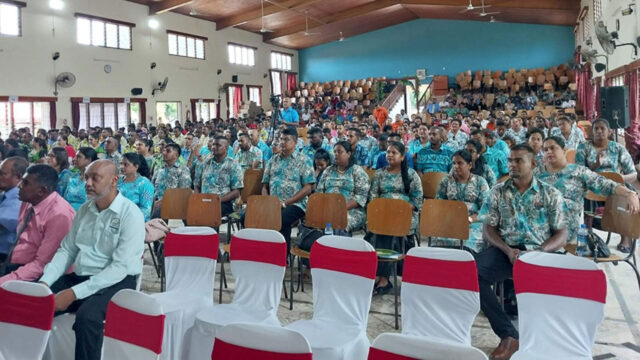
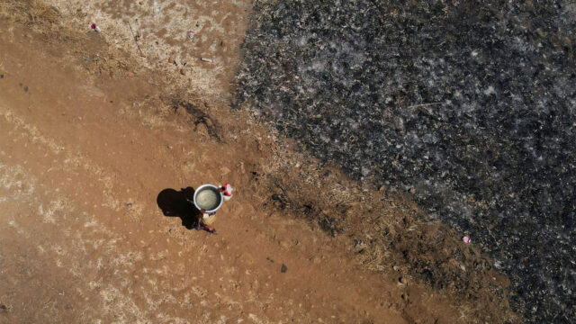
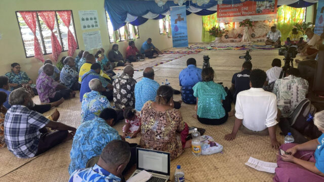
Eastern Division Evacuation Center