 Elenoa Turagaiviu
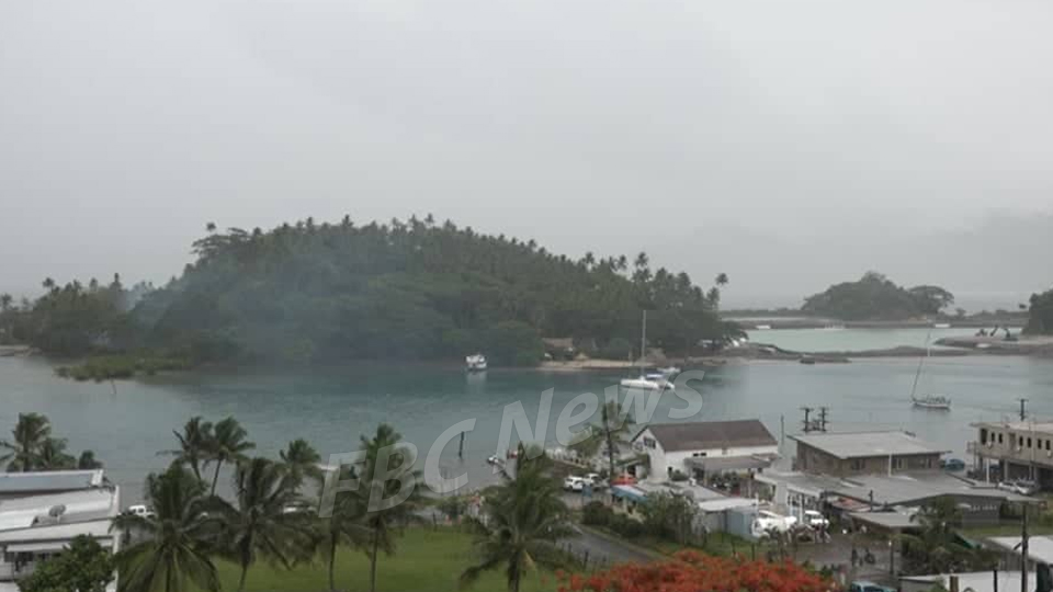
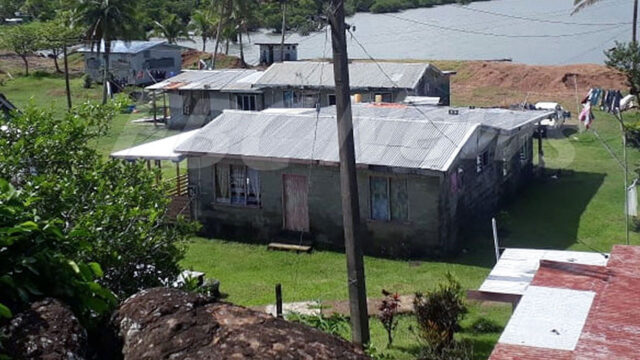
A Fiji Navy Hydrographic team will conduct a major sea bed mapping exercise in the Savusavu Bay in the next few months.
The team has been brought in by Nawi Island Limited to carry out a hydrographic survey of the channel after the completion of the dredging on the marina.
A team is in Savusavu this week carrying out a preliminary survey on the Nawi Island Channel before the sea bed mapping takes place.
According to Nawi Island Limited, the hydrographic survey is important as it will be used by yachts, superyachts or catamarans to establish whether an area they are heading into is safe.
The survey will also enable relevant authorities to determine the maximum draught for vessels allowed in the channel.
This survey will result in the production of maps for the channel and most importantly of the Nawi Island Marina. As well, it will ensure the latest up to date nautical information is available to mariners using the channel.
At present, Nawi Island Marina channel is being dredged by internationally renowned Halls Construction.