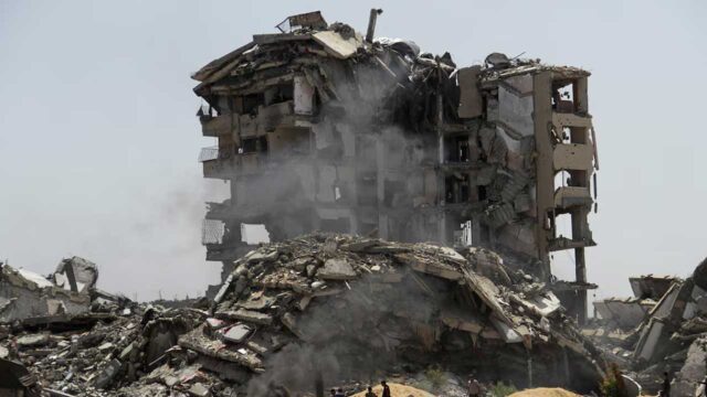
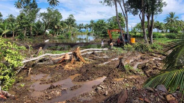
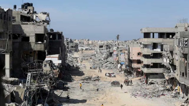
The Secretariat of the Pacific Community has successfully used drone technology to capture images of the damage caused by Tropical Cyclone Pam in Vanuatu.
The new technology meant that the SPC was able to access areas which otherwise would have proved impossible.
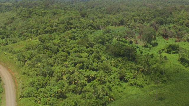
SPC Scientist – Herve Damlamian says the drone captured high resolution, accurate topography data on a large area in an efficient and cheap manner.
The drone will be put to use as much as possible.
“In many ways it can be seen as a game changer, especially in the area our team is working on – which is related to coastal ocean-tomography, coastal management, inundation hazard and one of the big gap we’ve been having for many years in the region is high topography data – which is very key information as soon as we want to look at inundation hazard or coastal protection etc.”
Damlamian says one of the benefits for gathering topography data or 3D shoreline images via drones, is the ability to make long term plans based on the research conducted.
SPC bought its drone in July last year and since then it has conducted three surveys in the region.