 Kelly Vacala
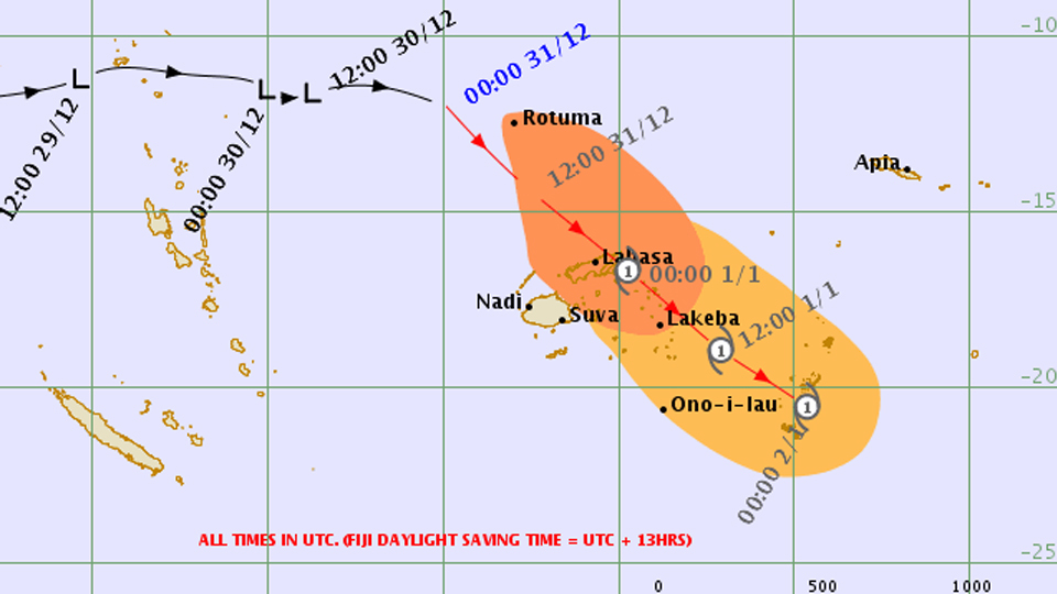
[Source: Fiji Meteorological Service]
Tropical Depression 03F may intensify further into a Category 1 Tropical Cyclone in the 12 to 18 hours.
The Fiji Meteorological Services says TD03F was located about 200km west of Rotuma and about 650km north-northwest of Nadi at 3pm today.
On the projected path, TD03F is expected to be located about 200km north-northeast of Yasawa-i-Rara or about 210km northwest of Labasa at 3am tomorrow and about 100km east-southeast of Taveuni or about 190km east-southeast of Labasa at 3pm tomorrow.

The track map as of 3:06pm today. [Source: Fiji Meteorological Service]
Close to the centre, 10 minute average winds is estimated to be about 45km/hr. TD03F is moving southeast at about 25km/hr.
A gale warning remains in force for Rotuma, Yasawa group, Northern Viti Levu from Ba, Rakiraki to Tailevu north, Vanua Levu, Taveuni and nearby smaller islands.
A tropical cyclone alert remains in force for Lau and Lomaiviti group.
A strong wind warning remains in force for the rest of Fiji land areas.
A heavy rain warning remains in force for Vanua Levu, Taveuni and nearby smaller islands, Yasawa and Mamanuca group, Lau and Lomaiviti group.
Meanwhile, a trough of low pressure with associated cloud and rain affects Fiji.
On its anticipated development and track, the system may bring damaging gale force winds over Rotuma this afternoon and over Yasawa group, Vanua Levu, Taveuni and nearby smaller islands and northern Viti Levu from early tomorrow morning and over Lau and Lomaiviti group from mid-morning.
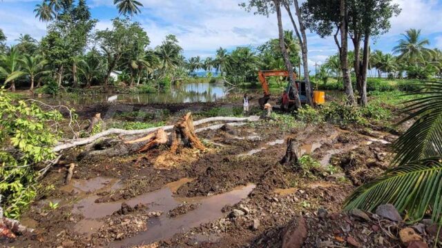
A flood alert remain in force for low lying areas and areas adjacent to major rivers of Vanua Levu and Rewa to Navua catchments.