In bid to assist people to get around during natural disaster, a new mobile application, the Geomap app was launched.
ADB Specialist Kuo-Yu Slayer Chuang says, the app will contain digitize roads and building on open street map.
“Even if there is a weak internet connections. And with a mobile phone, you can have a GPS location to know where you are. So you can actually report the situation along with the SMS, the pure text but we encoded the location information into the SMS.”
Chuang says these maps are used to identify safe zones for village members to seek shelter and identify hazard areas.
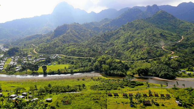
Over five thousand buildings have been digitized in Nadi using the geomap tool.
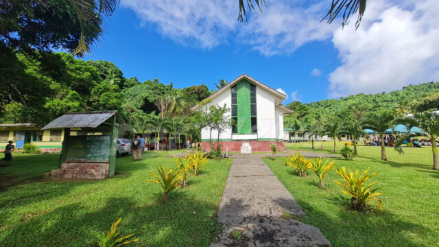
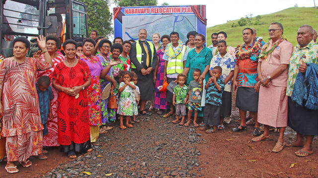
Nadi town will be the first location in Fiji to be piloted on this app.
The project will firstly focus on Saunaka, Namotomoto and Nawaka villages.