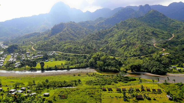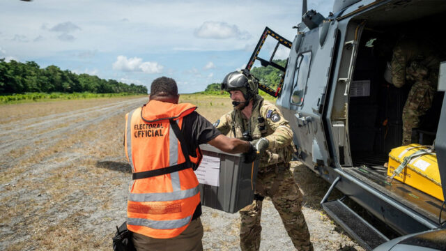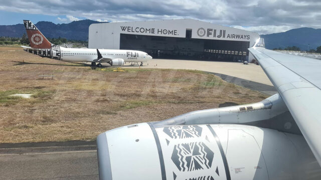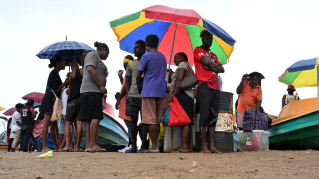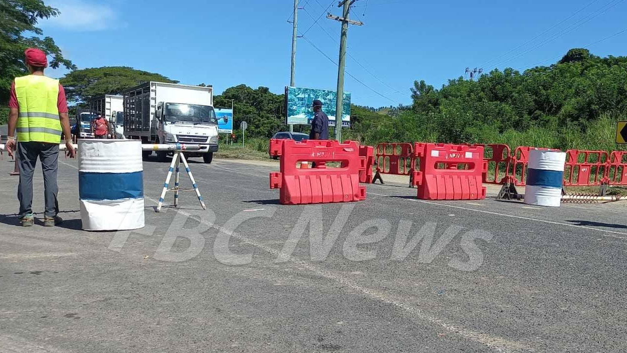
The checkpoint at Momi Bay
New measures to control movement within the containment areas are expected to be announced in the COVID-19 briefing this afternoon.
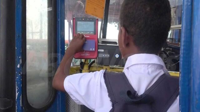
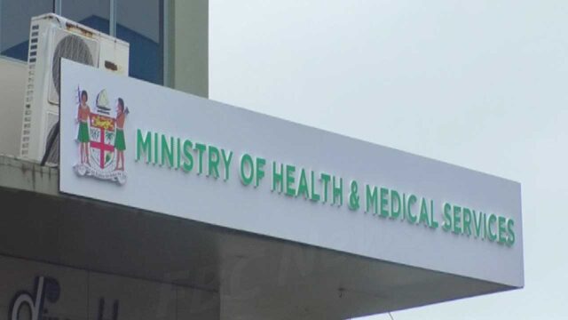
This means that those who had containment passes and curfew passes, will have to reapply to the Health Ministry, which says it will be very strict from now onwards.
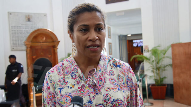
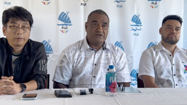
Health Permanent Secretary, Doctor James Fong says he expects to announce more on this in the presser.
The Fiji Police Force has confirmed that it is not issuing any more passes, and passes issued until yesterday will be null and void.
This comes hot on the heels of questions being raised about why most vehicles were allowed to pass through containment areas with passes, after companies and individual provided reasoning as essential services.
From the announcement today, the following containment checkpoints will not allow people to come into a different containment zone.
CONTAINMENT ZONES
(1) Lami Containment Zone From Wainadoi Police Post following a North-East direction to the intersection of Wailoulou Creek and Naikorokoro Creek;
From the intersection of Wailoulou Creek and Naikorokoro Creek following a North-East direction to the intersection of Wailoku Creek and Tamavua River; From the intersection of Wailoku Creek and Tamavua River following a South-South-East direction down Tamavua River to the mouth of Tamavua River; From the high water mark at the mouth of Tamavua River following a buffer of 3 kilometres along the high water mark in a West-South-West direction to the mouth of Wainadoi River; and From the mouth of Wainadoi River following a NorthNorth-East direction up Wainadoi River ending at Wainadoi Police Post.
(2) Lautoka Containment Zone From Lomolomo Police Post following an East direction to the headwater of Davetalevu Creek; From the headwater of Davetalevu Creek following a North-North-East direction to the Waiwai Road bridge crossing at Qalinadoi Creek; From the Waiwai Road bridge crossing at Qalinadoi Creek following a West-North-West direction to the junction of Nacilau Point Road and Kings Road; From the junction of Nacilau Point Road and Kings Road following a North-North-West direction to Nacilau Point; From Nacilau Point following a 3-kilometre buffer from the high water mark at Nacilau Point to the South Pacific Ocean along the coast in a South-West direction to Lomolomo Cemetery; and From Lomolomo Cemetery following a North-North-East direction to end at Lomolomo Police Post.
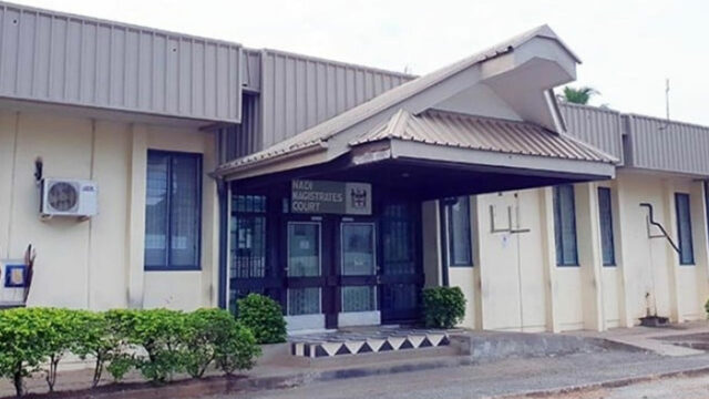
(3) Nadi Containment Zone From the junction of Queens Road from Momi Bay and the Suva-Nadi Highway following an East-South-East direction to Nawaqadamu Village; From Nawaqadamu Village following a North-East direction to the junction of Nausori Highland Road and the road to Waiwai Settlement; From the junction of Nausori Highland Road and the road to Waiwai Settlement following a North-North-East direction to the headwater of Davetalevu Creek; From Davetalevu Creek following a West direction to Lomolomo Police Post; From Lomolomo Police Post following a South-West direction to Lomolomo Cemetery; From Lomolomo Cemetery following a 3-kilometre buffer from the high water mark at Lomolomo Cemetery in a South-West direction around Nadi Bay and Momi Bay to the Momi Light House; and From the Momi Light House following an Easterly direction along Queens Road ending at the Queens Road and Suva-Nadi Highway junction.
(4) Nausori Containment Zone From the intersection of Waidina River and Rewa River following a North-East direction to the intersection of Rewa River and Waivau Creek; From the intersection of Rewa River and Waivau Creek following a North-East direction to the headwater of Waivau Creek; From the headwater of Waivau Creek following an EastSouth-East direction to the intersection of Kings Road and Logani-Sebi Road; From the intersection of Kings Road and Logani-Sebi Road following an East direction to Kubuna Island; From Kubuna Island following a 3-kilometre buffer along the high water mark in an East direction around Kaba Point, Vunivatu Bay, Laucala Bay, to the mouth of Nasinu River; From the mouth of Nasinu River following a North-North -East direction up Nasinu River to the intersection of Nasinu River and Wainibuku Creek; From the intersection of Nasinu River and Wainibuku Creek following a North-North-East direction up Wainibuku Creek to the intersection of Wainibuku Creek and Lawalawa Creek; From the intersection of Lawalawa Creek and Wainibuku Creek following a North-West direction to Sawani Police Post; and From Sawani Police Post following a North-North-West direction ending at the Waidina River and Rewa River intersection.
(5) Suva Containment Zone From the intersection of Wailoku Creek and Tamavua River following a North-East direction to the headwater of Wainaivisere Creek; From the headwater of Wainaivisere Creek down towards the intersection of Wainaivisere Creek and Waimanu River; From the intersection of Wainaivisere Creek and Waimanu River following a West-North-West direction to the intersection of Wailosilosi Creek and Waimanu River; From the intersection of Wailosilosi Creek and Waimanu River following a North-North-West direction to the edge of Waidina River at Naqali Village; From the edge of Waidina River at Naqali Village following a North-East direction down Waidina River to the intersection of Waidina River and Rewa River; 454455 From the intersection of Waidina River and Rewa River following a South-East direction to Sawani Police Post; From Sawani Police Post to the headwater of Lawalawa Creek following a South-East direction to the intersection of Lawalawa Creek and Wainibuku Creek; From the intersection of Lawalawa Creek and Wainibuku Creek following a South-South-East direction down Wainibuku River to the intersection of Wainibuku River and Nasinu River; From the intersection of Wainibuku River and Nasinu River following a South-East direction down Nasinu River to the mouth of the Nasinu River; From the mouth of the Nasinu River following a 3-kilometre buffer along the high water mark, around Suva Peninsula to the mouth of Tamavua River; and From the mouth of Tamavua River following a NorthNorth-East direction up Tamavua River, ending at the Wailoku Creek and Tamavua River intersection.