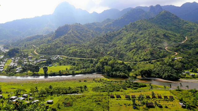
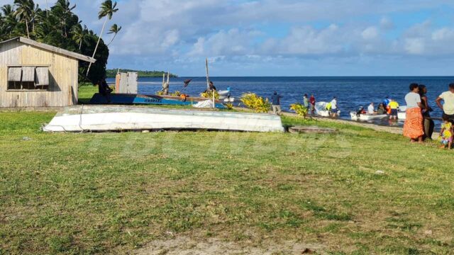
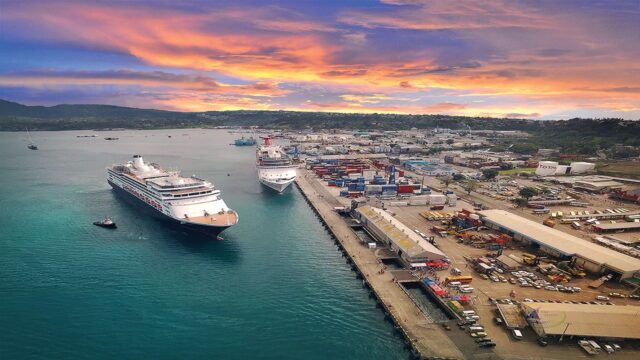
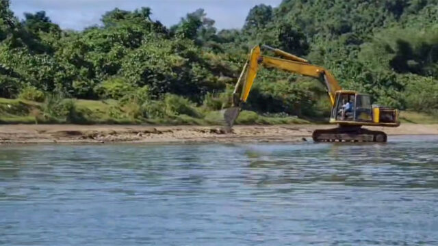
The Australian Navy has successfully completed seabed mapping activities in Rotuma and Lautoka.
As part of its regional engagement, the Australian Navy vessel HMAS Leeuwin carried out seabed mapping operations with the Fiji Hydrographic Office.
The exercise is aimed at producing vital nautical charts for safe passage of maritime vessels in Fiji waters.
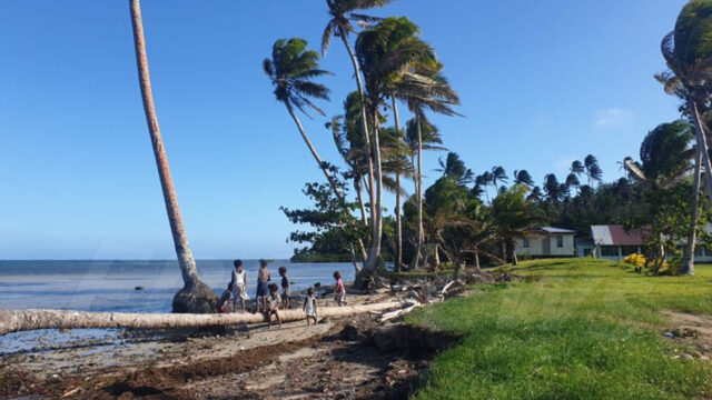
The last mapping activity conducted in Rotuma was in 1896 by British explorer and navigator Captain James Cook.
The Australian navy team will be undertaking damage control exercises for fighting a fire or flooding on board a vessel.
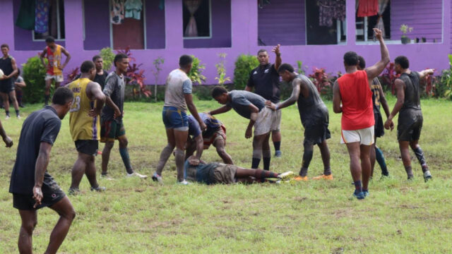
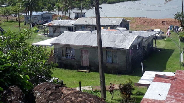
The 65 member crew also did some community work at Suva’s Marcellin Primary School yesterday and also offered some assistance to Rotuma High School while surveying there.
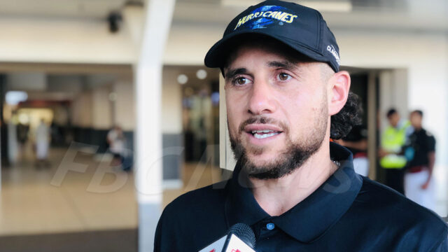
Commanding officer Lieutenant Commander Richard Mortimer says community outreach is a priority for the Royal Australian Navy’s regional engagement program.